Stage 10. Hasselt (BE) to Wintershoven (BE)

Stage 10. Hasselt (BE) to Wintershoven (BE)
As a small settlement arose Hasselt around the 7th century near the Helbeek (stream), a tributary of the river Demer. The name Hasselt is probarly derived from the Germanic Hasaluth, which means hazel forest, read more…
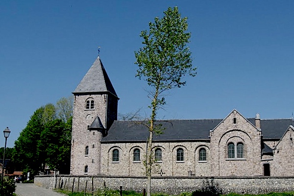
The Roman presence is apparent from the fact that the main road to Tongeren goes through the territory of what later became Wintershoven in a southerly direction. Roman roof tiles, potsherds and flints were used for the Sint-Pietersbandenkerk in Wintershoven, read more…
Overview map and stats:

| Start: | Fruitmarkt 11, 3500 Hasselt, Belgium |
| Coordinates (DD): | 50.930101 / 5.338455 |
| End: | Sint-Lambertusstraat, 3722 Wintershoven, Belgium |
| Coordinates (DD): | 50.851600 / 5.419116 |
| Distance: | 20,7 kilometers |
| Ascent: | 65 meters |
| Descent: | 72 meters |
| Elevation map: |

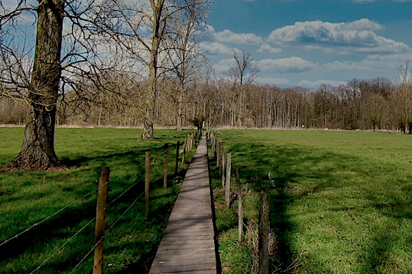
| Path, dirt road, nature trail: | 86% |
| Asphalt, road: | 14% |
| Pdf route map: | Go for download to page here |
| Gpx track: | Go for download to page here |
| KML file: | Go for download to page here |
- Pdf files are excellent for viewing.
- Gpx track can be uploaded to many devices, so you always know the direction to follow or your position.
- KML files can be uploaded in Google Earth. As result you get a detailed satellite view. You can even follow a videotour, which is a linear walk-through the stage.
Some highlights:


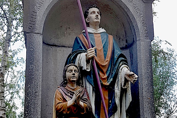
The Saint-Landoaldus water source is located in the middle of the meadows to the west of Bronstraat and south of Dessener castle farm in Wintershoven. According to the Saints of Wintershoven, pastor-pilgrim Landoaldus would have pressed his pilgrim’s stick into the ground after a long period of drought. And after a while a source/well came alive. A monument was erected with a colorful ceramic statue of Landoaldus and his kneeling pupil Lambertus.