Stage 9. Genk (BE) to Hasselt (BE)
Stage 9. Genk (BE) to Hasselt (BE)
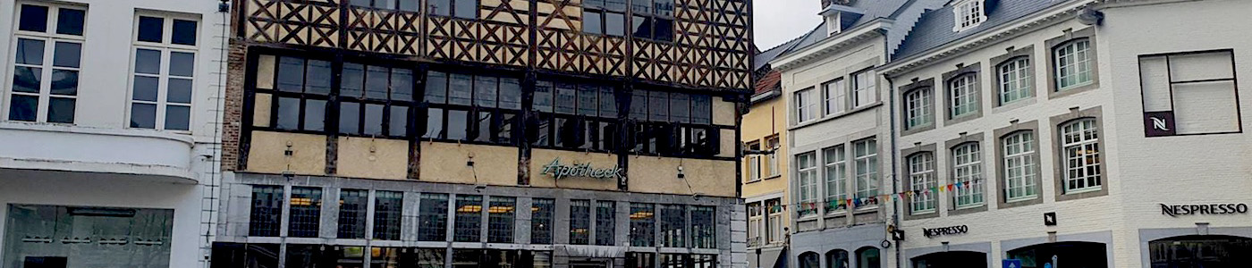
Genk is a city in the Belgian province Limburg with more than 66,000 inhabitants.
For almost 800 years Genk remained rural with 200 to 500 inhabitants, but Genk remained the center of a number of other little villages, read more…
As a small settlement arose Hasselt around the 7th century near the Helbeek (stream), a tributary of the river Demer. The name Hasselt is probarly derived from the Germanic Hasaluth, which means hazel forest, read more…
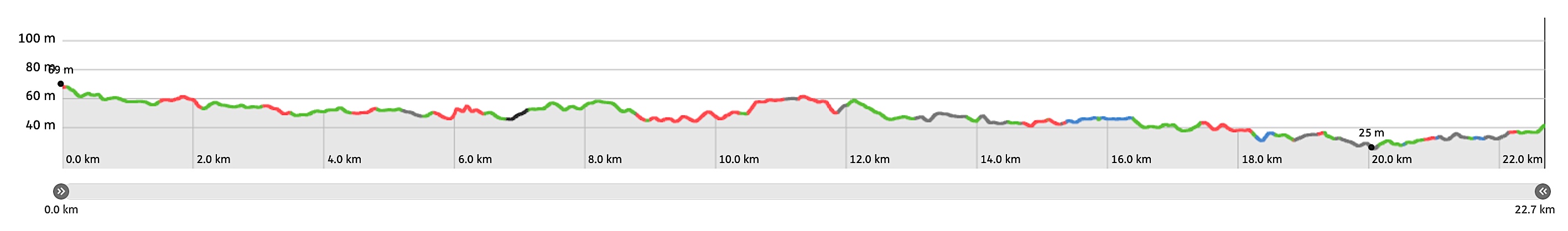
Trail map and stats:
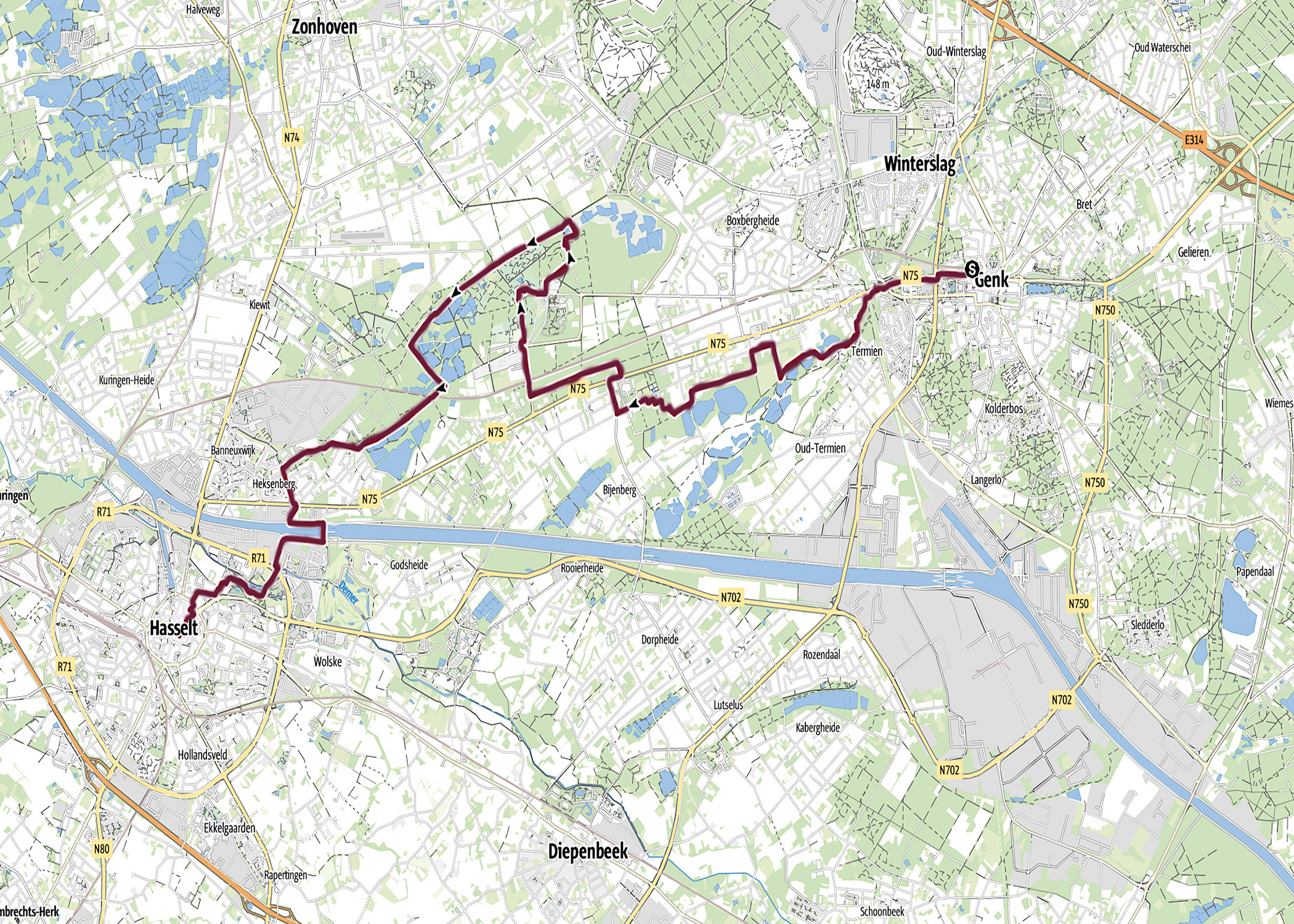
| Start: | Genk (BE) |
| Coordinates (DD): | 50.968489 / 5.499835 |
| End: | Hasselt (BE) |
| Coordinates (DD): | 50.930101 / 5.338455 |
| Distance: | 22,7 kilometers |
| Ascent: | 60 meters |
| Descent: | 87 meters |
| Elevation map: |
| Path, dirt road, nature trail: | 82% |
| Asphalt, road: | 18% |
| Pdf route map: | Go for download to page here |
| Gpx track: | Go for download to page here |
| KML file: | Go for download to page here |
- Pdf files are excellent for viewing.
- Gpx tracks can be uploaded to many devices, so you always know the direction to follow or your position.
- KML files can be uploaded in Google Earth. As result you get a detailed satellite view. You can even follow a videotour, which is a linear walk-through the stage.
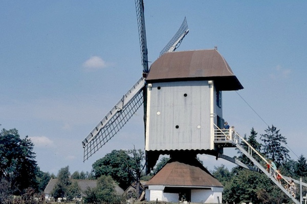
Some highlights:

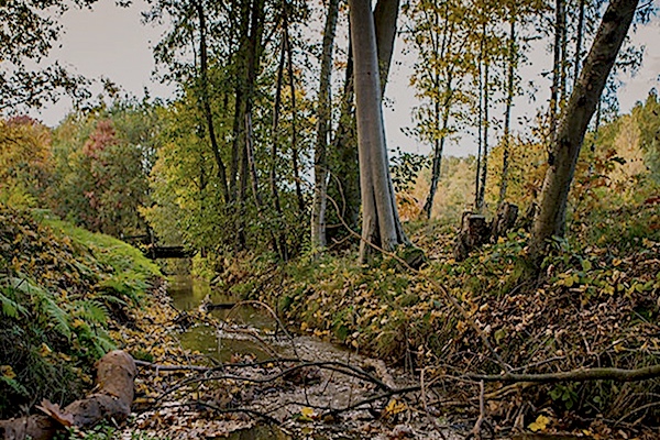
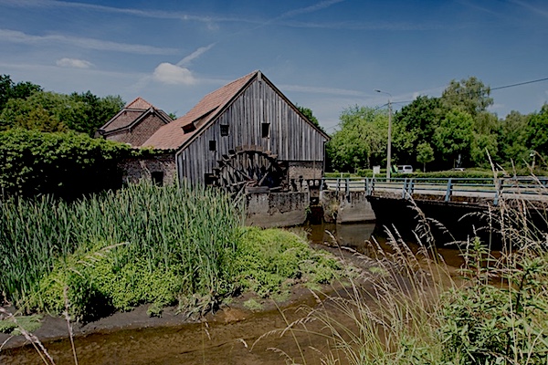
The Provinciaal Domein Bokrijk is a 550-hectare domain with forests and nature reserves, located in the Belgian municipality of Genk. It is mainly known for its open-air museum, arboretum and open-air playground but is a protected Natura 2000 area, read more…