Stage 16. Herve (BE) to Aubel (BE)
Stage 16. Herve (BE) to Aubel (BE)
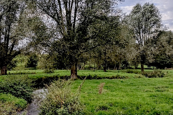
The city of Herve gave its name to the surrounding “Land of Herve”. The Land of Herve is a group of villages nestled in this part of Liège that stretches between the rivers Meuse and Vesder, read more…
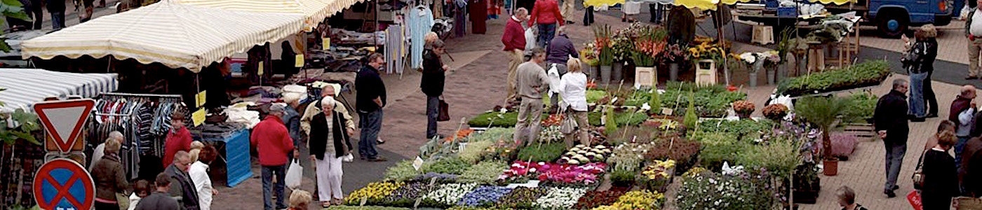
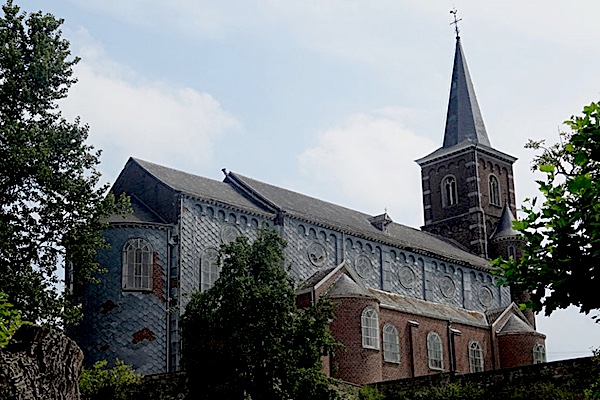
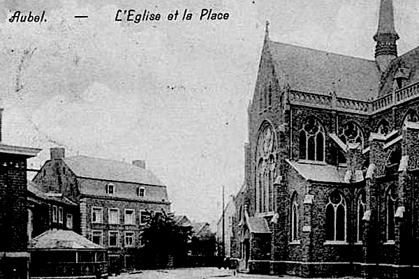
Aubel is known for its regional products: Herve cheese, syrup, cider and beer. These are traded in the markets on Tuesday and Sunday mornings. In the past, the Aubel market was well known, read more…
Overview map and stats:

| Start: | Herve (BE) |
| Coordinates (DD): | 50.639762 / 5.795313 |
| End: | Aubel (BE) |
| Coordinates (DD): | 50.703739 / 5.857328 |
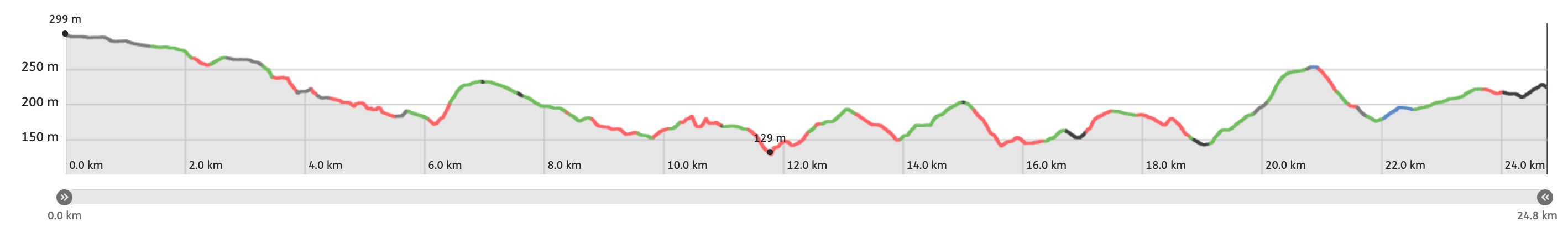
| Distance: | 24,8 kilometers |
| Ascent: | 420 meters |
| Descent: | 503 meters |
| Elevation map: |
| Path, dirt road, nature trail: | 81% |
| Asphalt, road: | 19% |
| Pdf route map: | Go for download to page here |
| Gpx track: | Go for download to page here |
| KML file: | Go for download to page here |
- Pdf files are excellent for viewing.
- Gpx tracks can be uploaded to many devices, so you always know the direction to follow or or your position.
- KML files can be uploaded in Google Earth. As result you get a detailed satellite view. You can even follow a videotour, which is a linear walk-through the stage.
Some highlights:
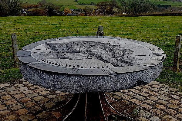
In the hills of Saint-Jean-Sart at the village Knuppelstock is a more than special orientation table located. The surrounding landscape is sculpted in a blue stone and 1,5 meters in diameter. Decorated with bronze details, the whole weighs almost 1 ton. This sculpture is unique in Belgium and shows the relief of the special landscape as it is visible from your spot.
Specific info:
Sleep suggestions:
Interesting websites:
