Stage 15. Pepinster (BE) to Herve (BE)
Stage 15. Pepinster (BE) to Herve (BE)
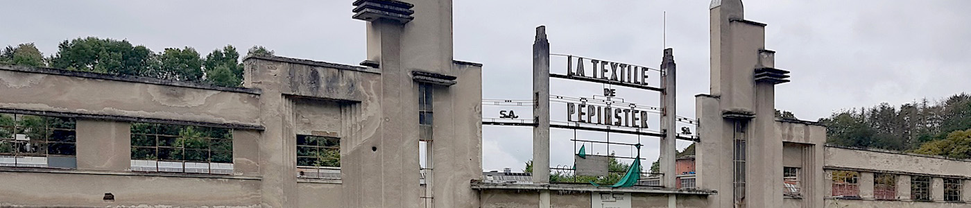
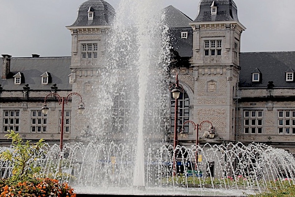
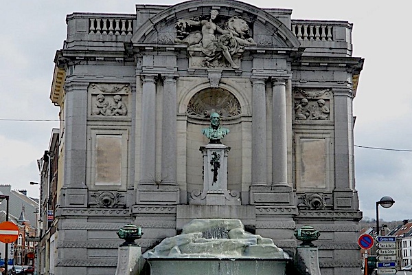
Pepinster traditionally had many watermills, due to its location between two fast-flowing rivers. In the 18th century, four watermills were made suitable for the textile industry, which flourished in the area around Verviers, read more…
The city of Herve gave its name to the surrounding “Land of Herve”. The Land of Herve is a group of villages nestled in this part of Liège that stretches between the rivers Meuse and Vesder, read more…
Overview map and stats:
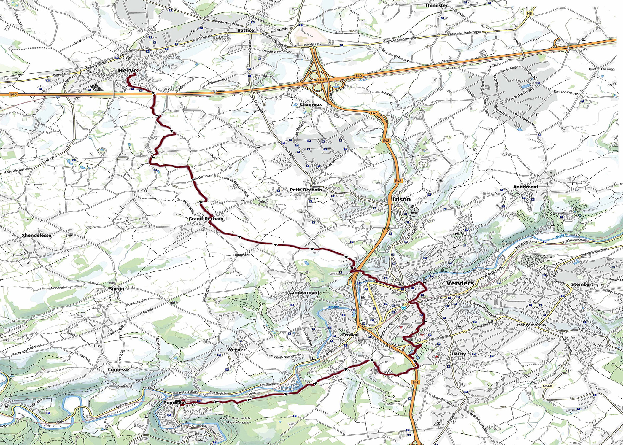
| Start: | Pepinster (BE) |
| Coordinates (DD): | 50.568421 / 5.803283 |
| End: | Herve (BE) |
| Coordinates (DD): | 50.639762 / 5.795313 |
| Distance: | 17,7 kilometers |
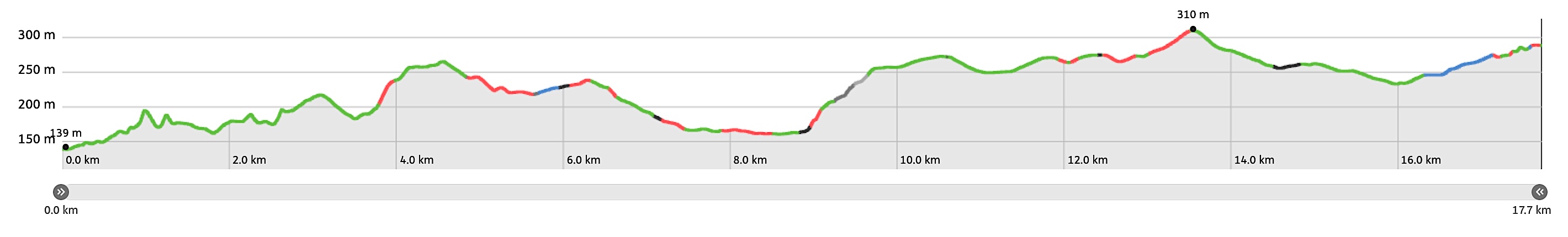
| Ascent: | 409 meters |
| Descent: | 260 meters |
| Elevation map: |
| Path, dirt road, nature trail: | 94% |
| Asphalt, road: | 6% |
| Pdf route map: | Go for download to page here |
| Gpx track: | Go for download to page here |
| KML file: | Go for download to page here |
- Pdf files are excellent for viewing.
- Gpx tracks can be uploaded to many devices, so you always know the direction to follow or your position.
- KML files can be uploaded in Google Earth. As result you get a detailed satellite view. You can even follow a videotour, which is a linear walk-through the stage.
Some highlights:
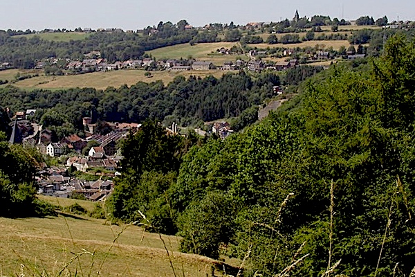
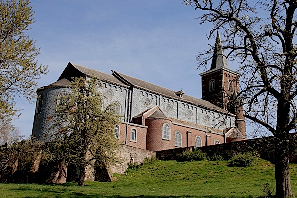
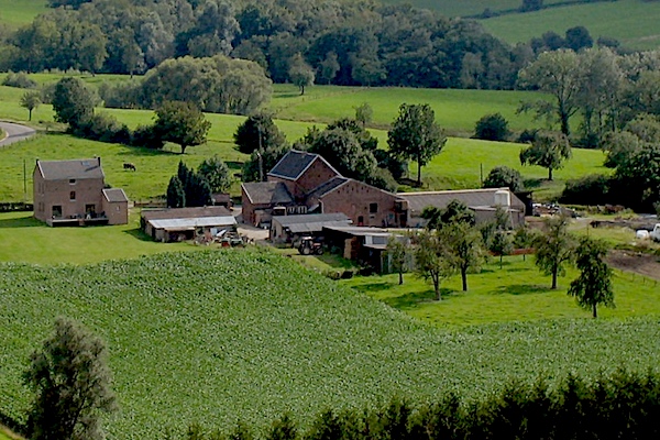
The Land van Herve is located between the rivers Vesder and Meuse, in the heart of the Euregio Meuse-Rhine and the Aachen-Liège-Maastricht triangle. The Land of Herve covers an area of 450 km² with a rather hilly relief. The typical view is characterized by living hedges bordering meadows. The hedgerow landscape of the Land of Herve and its standard orchards provide the setting for small typical farms, most of which were built in the 17th and 18th centuries.
Specific info:
Sleep suggestions:
Interesting websites:
