Stage 2. Meerssen (NL) to Spaubeek (NL)

Stage 2. Meerssen (NL) to Spaubeek (NL)
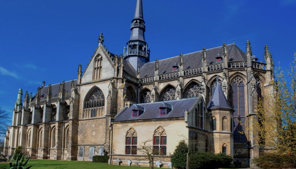
The area around Meerssen was already inhabited during Roman times. In 1865, the priest and amateur archaeologist Jozef Habets discovered remnants of the Roman villa Meerssen-Onderste Herkenberg on Houthemerweg, which is known as the largest Roman villa in the Netherlands, read more…
Spaubeek is a quiet village with even a train station. Near the Sint-Laurentiuskerk (church) is a large square where you can park for free and from which you can easily discover Spaubeek.
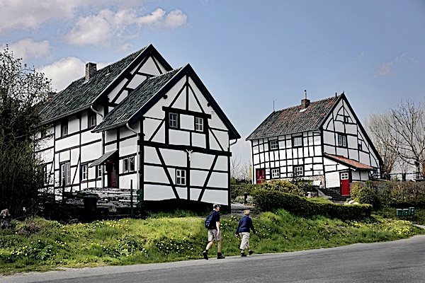
Spaubeek originated from a group of houses in the area, of which Hobbelrade is the most beautiful. Here you can admire a long series of old farmhouses, including a large half-timbered farmhouse. Above all Spaubeek is a hiking paradise from the village you are immediate in the middle of nature.
Overview map and stats:
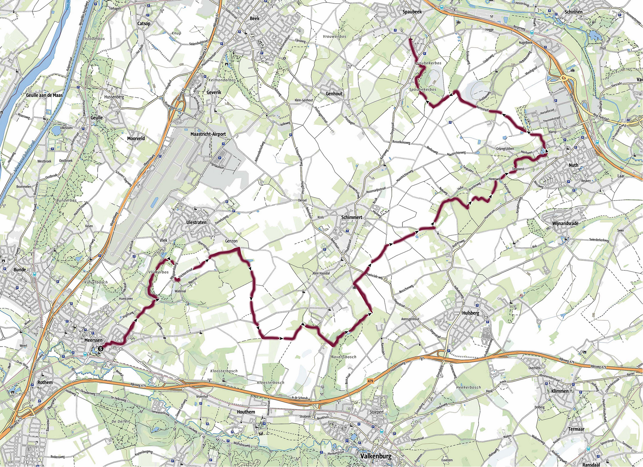
| Start: | Meerssen (NL) |
| Coordinates (DD): | 50.884016 / 5.754983 |
| End: | Spaubeek (NL) |
| Coordinates (DD): | 50.937221 / 5.841035 |
| Distance: | 20,6 kilometers |
| Ascent: | 167 meters |
| Descent: | 141 meters |
| Elevation map: |

| Path, dirt road, gravel, nature trail: | 95% |
| Asphalt, road: | 5% |
| Pdf route map: | Go for download to page here |
| Gpx track: | Go for download to page here |
| KML file: | Go for download to page here |
- Pdf files are excellent for viewing.
- Gpx tracks can be uploaded to many devices, so you always know the direction to follow or your position.
- KML files can be uploaded in Google Earth. As result you get a detailed satellite view. You can even follow a videotour, which is a linear walk-through the stage.
Some highlights:
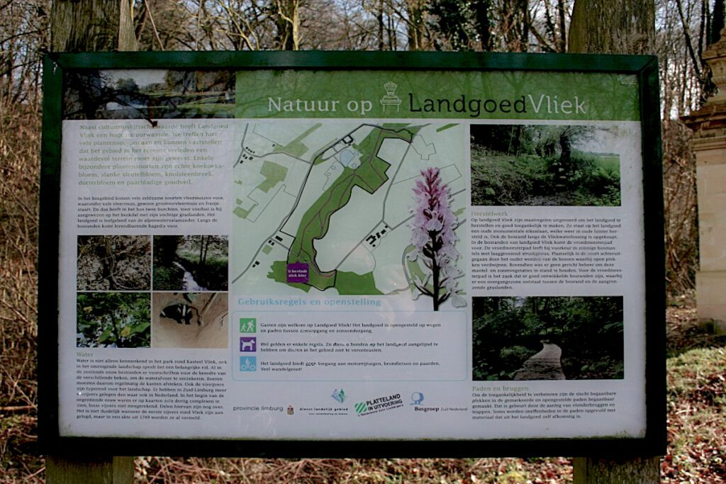
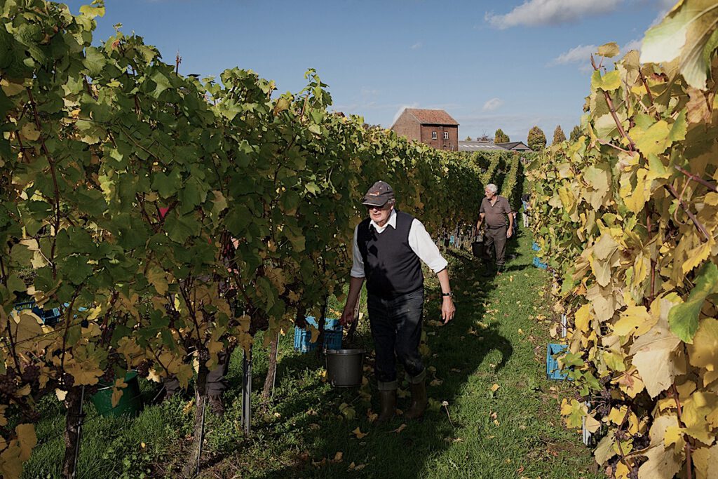
Wine in Limburg is centuries old and probably already brought by the Romans. The oldest evidence of wine in Limburg – and therefore also in the Netherlands – comes from 968.
Around 1500 it gets colder, the “little ice age” starts, wine gets it difficult and only survives in the best places, including the Wijngaardsberg, read more…
