Stage 41. Simpelveld (NL) to Valkenburg a/d Geul (NL)

Stage 41. Simpelveld (NL) to Valkenburg a/d Geul (NL)
Several Roman villas, villae rusticae, have been excavated around Simpelveld, which were built in the 1st century. On December 11, 1930, some sandstone coffins or sarcophagi from the Roman era were excavated. One of the coffins was the grave of a rich woman.
Around the middle of the 19th century a new source of income developed in the mainly agriculturally oriented Valkenburg aan de Geul; tourism. The opening of the Aachen – Maastricht railway line in 1853 with a Valkenburg aan de Geul station (the oldest railway station building in the Netherlands that still is in use) was an important step towards opening of the relatively isolated Valkenburg aan de Geul.
In 1885 the first tourist information office in the Netherlands was established to provide information and entertainment to the mainly wealthy tourists.
Overview map and stats:

| Start: | Simpelveld (NL) |
| Coordinates (DD): | 50.835166 / 5.982602 |
| End: | Valkenburg a/d Geul (NL) |
| Coordinates (DD): | 50.864595 / 5.832476 |
| Distance: | 21,6 kilometers |
| Ascent: | 188 meters |
| Descent: | 273 meters |
| Elevation map: |
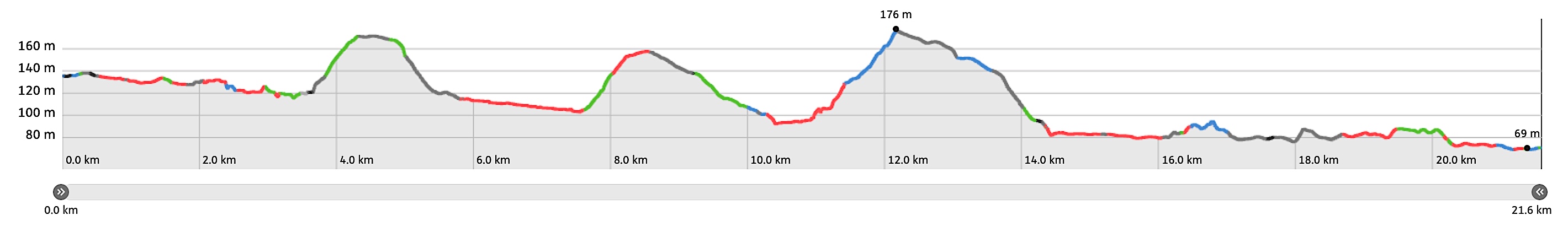
| Path, dirt road, nature trail: | 69% |
| Asphalt, road: | 31% |
| Pdf route map: | Go for download to page here |
| Gpx track: | Go for download to page here |
| KML file: | Go for download to page here |
- Pdf files are excellent for viewing.
- Gpx tracks can be uploaded to many devices, so you always know the direction to follow or your position.
- KML files can be uploaded in Google Earth. As result you get a detailed satellite view. You can even follow a videotour, which is a linear walk-through the stage.
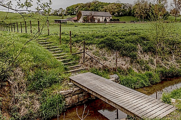
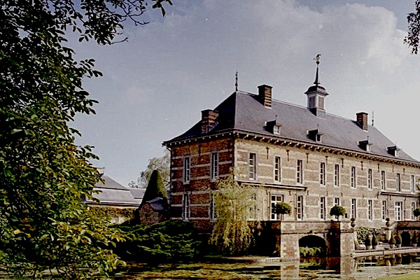
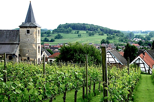
Some highlights:
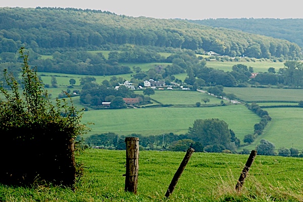

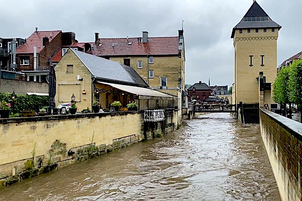
During the floods in July 2021, Valkenburg aan de Geul was the worst affected municipality in Limburg, because the river Geul runs right through. The damage was particularly extensive in the center and estimated at 400 million euros shortly after the disaster.
