Stage 40. Epen (NL) to Simpelveld (NL)
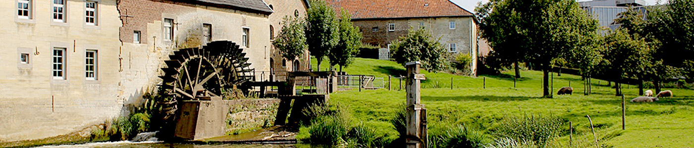
Stage 40. Epen (NL) to Simpelveld (NL)
The name Epen is probably derived from a Germanic word of possibly Celtic origin, “apa”, a word meaning “water”.
For 70 to 120 million years ago, the area where Simpelveld is located today was in the middle of the Cretaceous Sea. The chalk deposits are essentially the calcareous skeletons of small sea creatures.
A million years ago, the river Meuse still flowed through Simpelveld, read more…
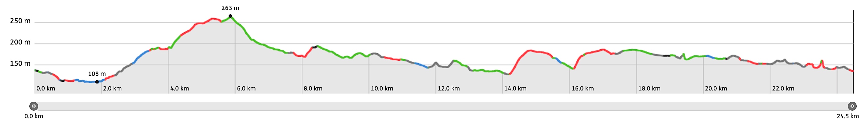
Overview map and stats:

| Start: | Epen (NL) |
| Coordinates (DD): | 50.773320 / 5.914025 |
| End: | Simpelveld (NL) |
| Coordinates (DD): | 50.835166 / 5.982602 |
| Distance: | 24,5 kilometers |
| Ascent: | 273 meters |
| Descent: | 276 meters |
| Elevation map: |
| Path, dirt road, nature trail: | 74% |
| Asphalt, road: | 26% |
| Pdf route map: | Go for download to page here |
| Gpx track: | Go for download to page here |
| KML file: | Go for download to page here |
- Pdf files are excellent for viewing.
- Gpx tracks can be uploaded to many devices, so you always know the direction to follow or your position.
- KML files can be uploaded in Google Earth. As result you get a detailed satellite view. You can even follow a videotour, which is a linear walk-through the stage.
Some highlights:
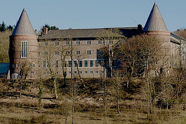

Mamelis village consists of a number of houses, farms and is situated on a hill with the abbey St. Benedictusberg and the Kolmonderbosch behind it. In 1840 Mamelis had 15 houses and 128 inhabitants and today the village has about 80 inhabitants read more…