Stage 43. Margraten (NL) to Eijsden (NL)
Stage 43. Margraten (NL) to Eijsden (NL)
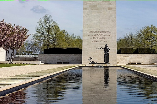
Margraten is international known by the presence of the Netherlands American Cemetery and Memorial, a large military cemetery.
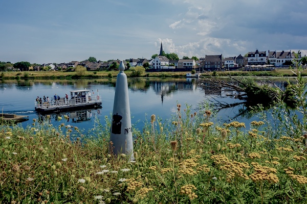
Eijsden lies on the frontier with Belgium and on the banks of the river Meuse in the extreme southwest of the Dutch region Zuid-Limburg. It is suspected from some archaeological finds that Eijsden was inhabited during Roman times, read more…
Overview map and stats:

| Start: | Margraten (NL) |
| Coordinates (DD) | 50.820220 / 5.821608 |
| End: | Eijsden (NL) |
| Coordinates (DD) | 50.776289 / 5.699626 |
| Distance: | 24,8 kilometers |
| Ascent: | 195 meters |
| Descent: | 318 meters |
| Elevation map: |
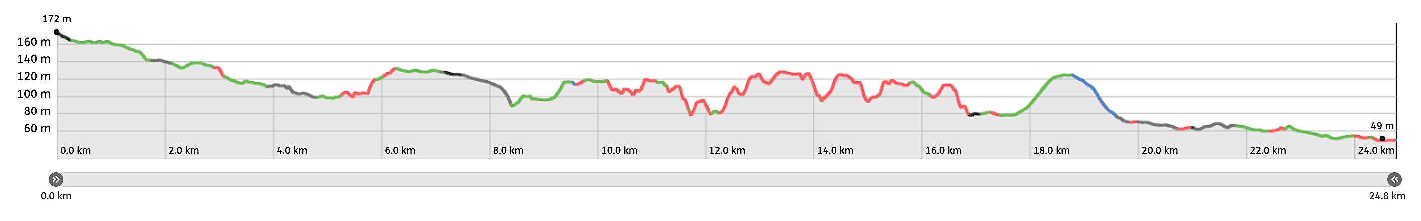
| Path, dirt road, nature trail: | 80% |
| Asphalt, road: | 20% |
| Pdf route map: | Go for download to page here |
| Gpx track: | Go for download to page here |
| KML file: | Go for download to page here |
- Pdf files are excellent for viewing.
- Gpx track can be uploaded to many devices, so you always know the direction to follow or your position.
- KML files can be uploaded in Google Earth. As result you get a detailed satellite view. You can even follow a videotour, which is a linear walk-through the stage.
Some highlights:
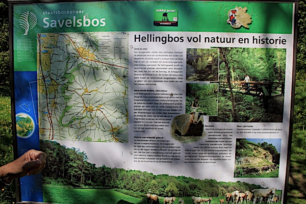
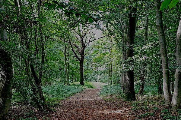
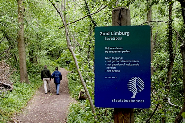
Savelsbos is a 6 km long hillside forest on the (often steep) eastern slope of the river Meuse valley and located between the villages of Cadier en Keer, Gronsveld, Eckelrade, Sint Geertruid, Moerslag and Rijckholt, read more…