Stage 44. Eijsden (NL) to Maastricht (NL)

Stage 44. Eijsden (NL) to Maastricht (NL)
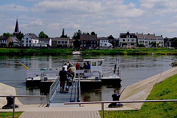
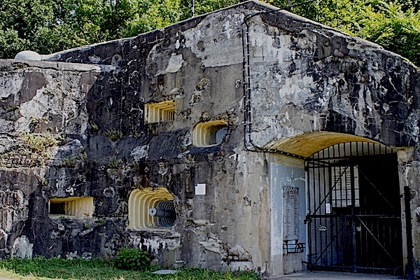
Eijsden lies on the frontier with Belgium and on the banks of the river Meuse in the extreme southwest of the Dutch region Zuid-Limburg. It is suspected from some archaeological finds that Eijsden was inhabited during Roman times.
Maastricht is a city in the south of the Netherlands. It is the capital of the province of Limburg and has 120.000 inhabitants and owes its name from the latin word: Mosa Trajectum, which means passage through the river Meuse, read more…
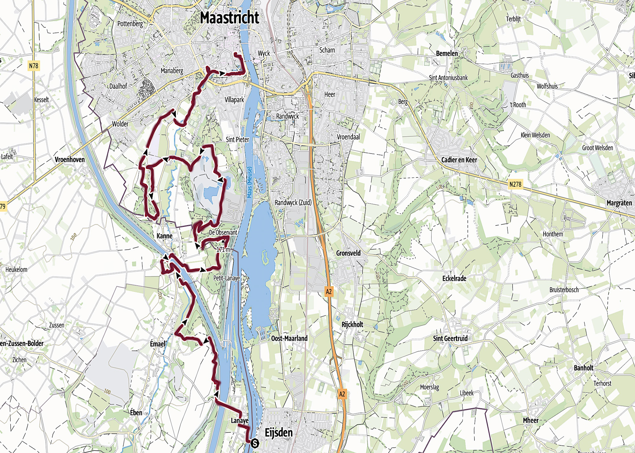
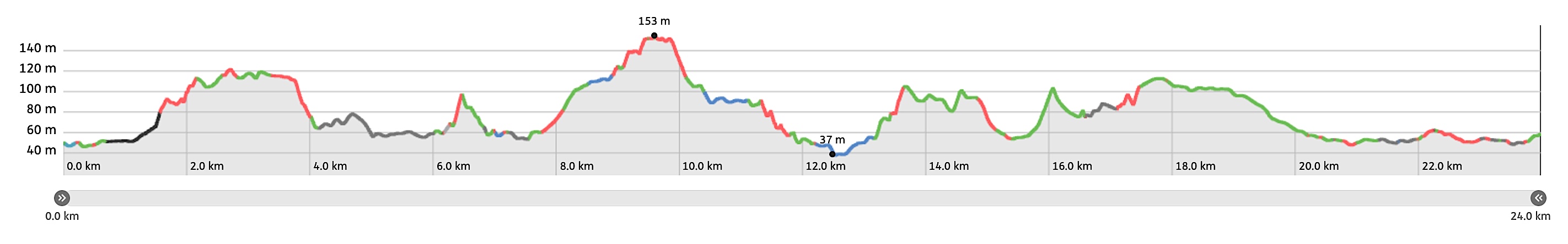
Overview map and stats:
| Start: | Eijsden (NL) |
| Coordinates (DD): | 50.776289 / 5.699626 |
| End: | Maastricht (NL) |
| Coordinates (DD): | 50.847628 / 5.692811 |
| Distance: | 24 kilometers |
| Ascent: | 355 meters |
| Descent: | 351 meters |
| Elevation map: |
| Path, dirt road, nature trail: | 79% |
| Asphalt, road: | 21% |
| Pdf route map: | Go for download to page here |
| Gpx track: | Go for download to page here |
| KML file: | Go for download to page here |
- Pdf files are excellent for viewing.
- Gpx track can be uploaded to many devices, so you always know the direction to follow or your position.
- KML files can be uploaded in Google Earth. As result you get a detailed satellite view. You can even follow a videotour, which is a linear walk-through the stage.
Some highlights:
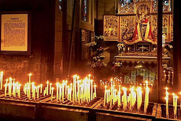
The statue “Sterre der Zee” is located in the Chapel of Merode of the Basilica of Our Lady in the center of Maastricht. It stands on an altar surrounded by flowers and candles “Sterre der Zee” is the popular name of a 15th-century old statue of Mary in Maastricht. There is a glass wall between the Merode chapel and the porch of the church, read more…
Specific local info:

Sleep suggestions:
Interesting websites:
