Stage 14.: Chaudfontaine (BE) to Pepinster (BE)

Stage 14.: Chaudfontaine (BE) to Pepinster (BE)
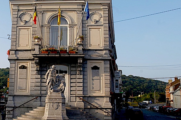
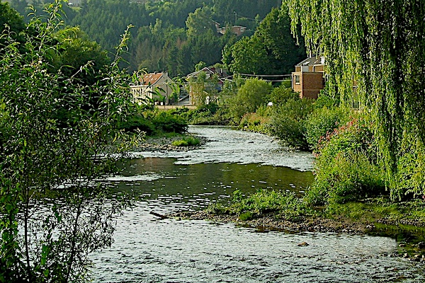
Chaudfontaine is a town on the river Vesder in the province of Liège, Belgium and has almost 21,000 inhabitants. The place has given its name to the spring water brand. Chaudfontaine has the only hot spring in the Benelux (37 degrees). This makes it officially a spa. Chaudfontaine did not make it in the name and fame of his more famous brother Spa from the spa of the same name.
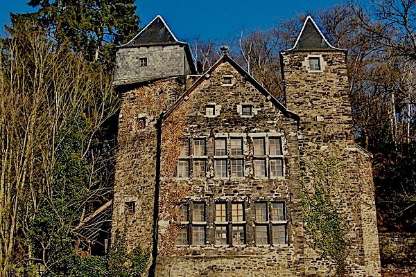
Pepinster traditionally had many watermills, due to its location between two fast-flowing rivers. In the 18th century, four watermills were made suitable for the textile industry, which flourished in the area around Verviers, read more…
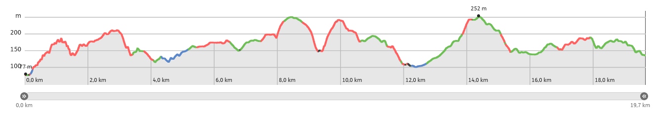
Overview map and stats:

| Start: | Chaudfontaine (BE) |
| Coordinates (DD): | 50.588818, 5.652707 |
| End: | Pepinster (BE) |
| Coordinates (DD): | 50.568421 / 5.803283 |
| Distance: | 19,7 kilometers |
| Ascent: | 662 meters |
| Descent: | 603 meters |
| Elevation map: |
| Path, dirt road, nature trail | 98% |
| Asphalt, road: | 2% |
| Pdf route map: | Go for download to page here |
| Gpx track: | Go for download to page here |
| KML file: | Go for download to page here |
- Pdf files are excellent for viewing.
- Gpx tracks can be uploaded to many devices, so you always know the direction to follow or your position.
- KML files can be uploaded in Google Earth. As result you get a detailed satellite view. You can even follow a videotour, which is a linear walk-through the stage.
Some highlights:

Bois les Dames, enjoy a unique walk through a breathtaking savanna landscape. This walk through forests and moors introduces you to a rather unknown phenomenon: the adaptation of the vegetation caused by the deposition on the bottom of zinc and lead dust particles from the past industry.
Specific local info:
Sleep suggestions:
Transport:
