Stage 17. Aubel (BE) to Fouron-Saint-Martin (BE)

Stage 17. Aubel (BE) to Fouron-Saint-Martin (BE)
Aubel is known for its regional products: Herve cheese, syrup, cider and beer. These are traded in the markets on Tuesday and Sunday mornings. In the past, the Aubel market was well known. Farmers from far and wide came to Aubel to sell their products, read more…
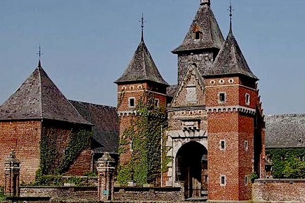
The village is Fouron-Saint-Martin is located in the valley of the Voer. After the French period, this village became Belgian. When Belgium became independent, geographer Philippe Vandermaelen made an inventory of `Fouron-Saint-Martin with 6 manor farms, 170 rural houses, 70 huts (“cabanes”), a church, a chapel, a paper factory, two mills, three breweries, a castle and a school in this village, read more…
Overview map and stats:
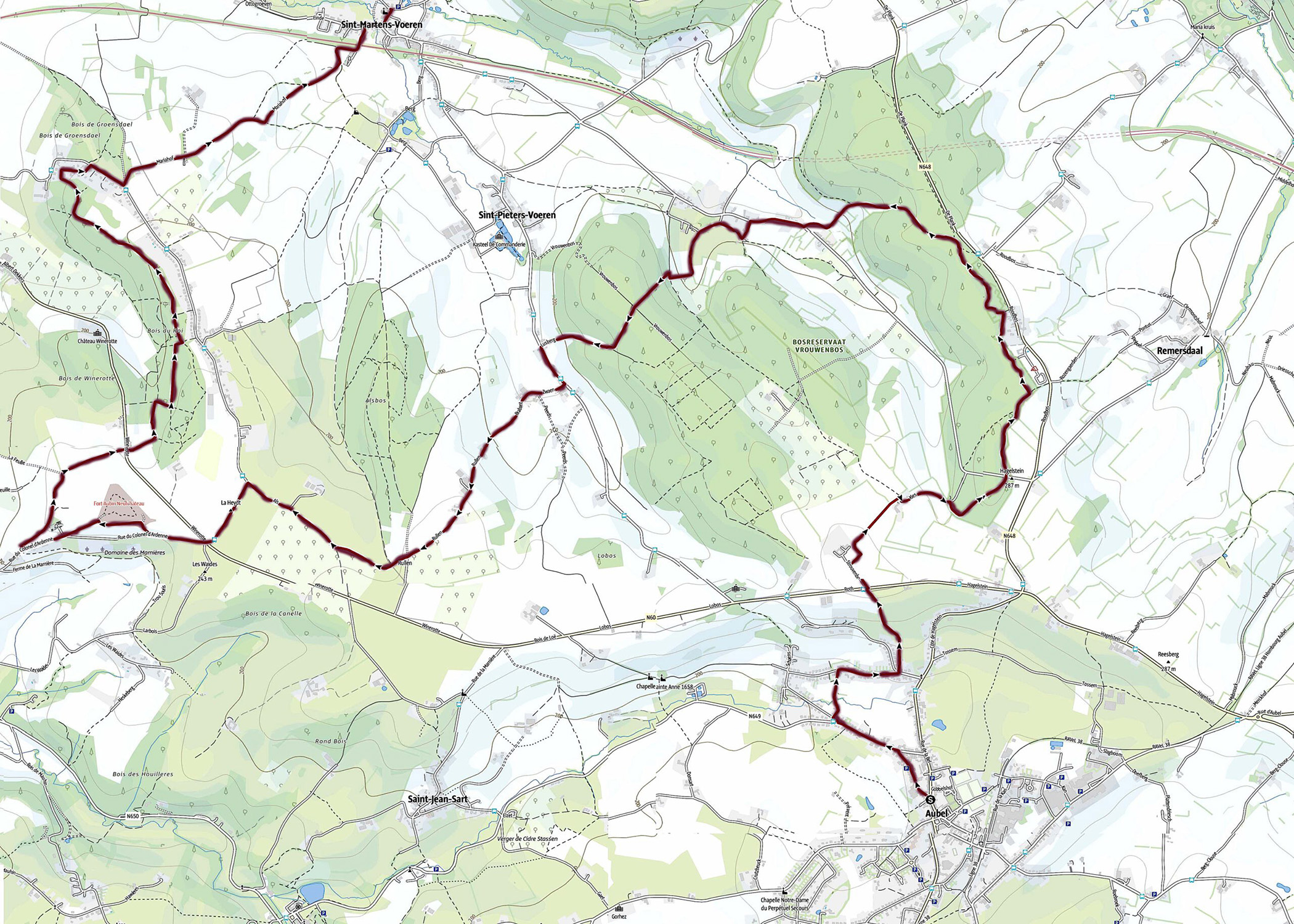
| Start: | Aubel (BE) |
| Coordinates (DD): | 50.703739 / 5.857328 |
| End: | Fourons Saint-Martin (BE) |
| Coordinates (DD): | 50.749482 / 5.813054 |
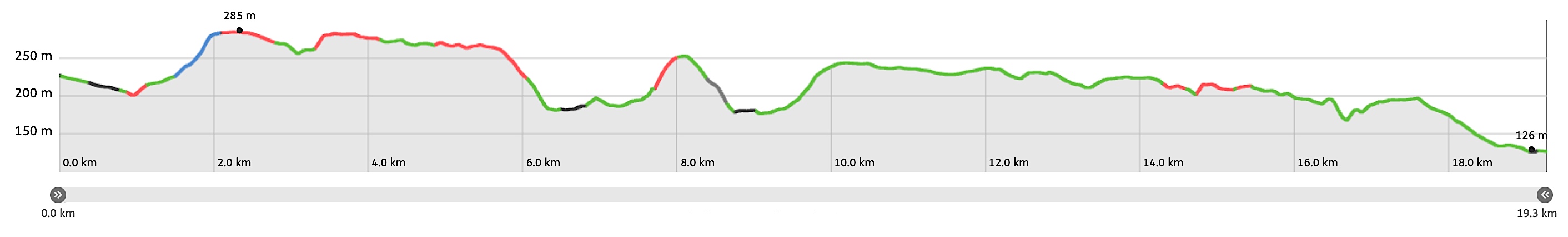
| Distance: | 19,3 kilometers |
| Ascent: | 254 meters |
| Descent: | 357 meters |
| Elevation map: |
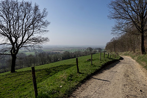
| Path, Dirt road, nature road: | 93% |
| Asphalt, road: | 7% |
| Pdf route map: | Go for download to page here |
| Gpx track: | Go for download to page here |
| KML file: | Go for download to page here |
- Pdf files are excellent for viewing.
- Gpx tracks can be uploaded to many devices, so you always know the direction to follow or your position.
- KML files can be uploaded in Google Earth. As result you get a detailed satellite view. You can even follow a videotour, which is a linear walk-through the stage.
Some highlights:

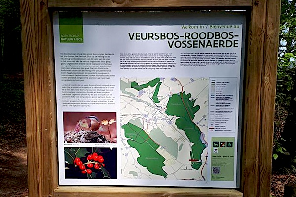
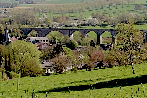
The railroadbridge of Sint-Martens-Voeren spans the valley of Voer. The line connects Tongeren with Aachen/Aix-la-Chapelle and is part of the Montzen route between the port of Antwerp and the German Ruhr area. To this day it is one of the busiest freight tracks in Belgium.
Specific info:
Sleep suggestions:
Interesting websites:
