Stage 20. Kelmis (BE) to Raeren (BE)
Stage 20. Kelmis (BE) to Raeren (BE)
Kelmis (La Calamine) is located at the frontier between Belgium, Germany, and the Netherlands. It’s the northernmost town in the German-speaking community of Belgium, read more…
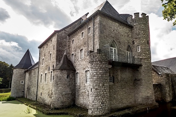
Raeren is a German-speaking city in the province of Liège in Belgium and has more than 10,000 inhabitants. Half have the German nationality. The name Raeren comes from “rooien” and refers to a settlement on a cleared spot in the Aachener Wald. This must have happened between 800 and 1200. The ceramics of Raeren became known in the 16th and 17th centuries and a number of copies are in various museums around the world. In 1815 it came to Prussia, later Germany and in 1920 it came to Belgium.
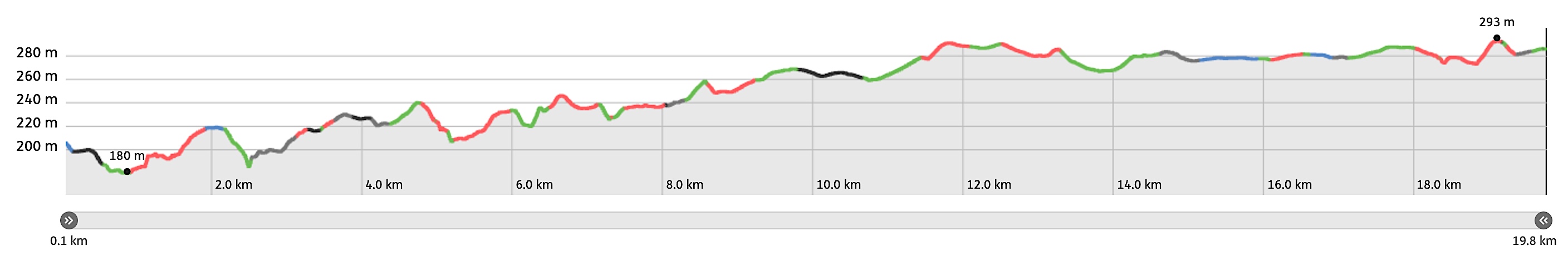
Overview map and stats:
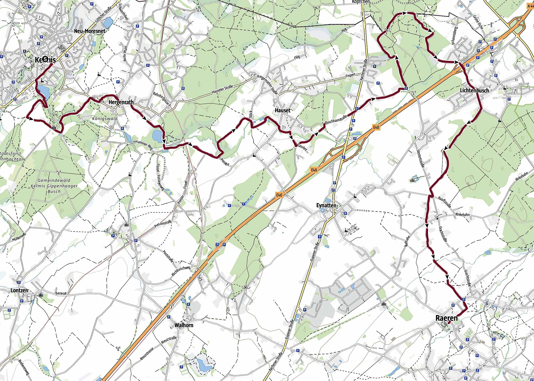
| Start: | Kelmis (BE) |
| GPS coordinates (DD): | 50.715938 / 6.013369 |
| End: | Raeren (BE) |
| GPS coordinates (DD): | 50.676087 / 6.111485 |
| Distance: | 19,8 kilometers |
| Ascent: | 189 meters |
| Descent: | 113 meters |
| Elevation map: |
| Path, dirt road, nature trail: | 81% |
| Asphalt, road: | 19% |
| Pdf route map: | Go for download to page here |
| Gpx track: | Go for download to page here |
| KML file: | Go for download to page here |
- Pdf files are excellent for viewing.
- Gpx tracks can be uploaded to many devices, so you always know the direction to follow or your position.
- KML files can be uploaded in Google Earth. As result you get a detailed satellite view. You can even follow a videotour, which is a linear walk-through the stage.
Some highlights:
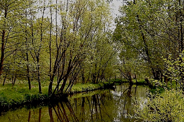

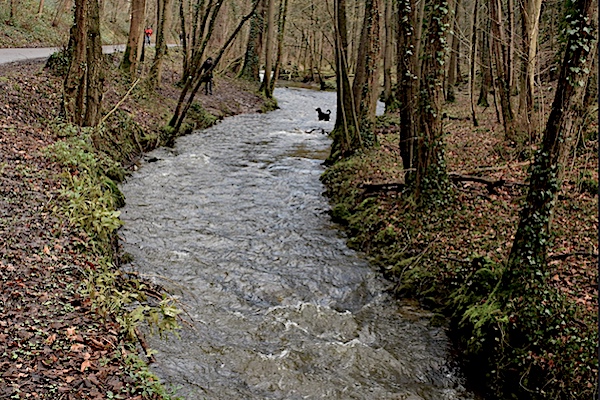
The river Geul is 58 kilometers long and the total fall is 250 meter. The river meanders naturally through the landscape of Zuid-Limburg. In Belgium and the Netherlands the river Geul is fed by a large number of tributaries, read more…
Specific local info:
Sleep suggestions:
Interesting websites:
