Stage 21. Raeren (BE) to Henri-Chapelle (BE)

Stage 21. Raeren (BE) to Henri-Chapelle (BE)
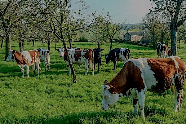
Raeren is a German-speaking city in the province of Liège in Belgium and has more than 10,000 inhabitants. Half have the German nationality. The name Raeren comes from “rooien” and refers to a settlement on a cleared spot in the Aachener Wald, read more…
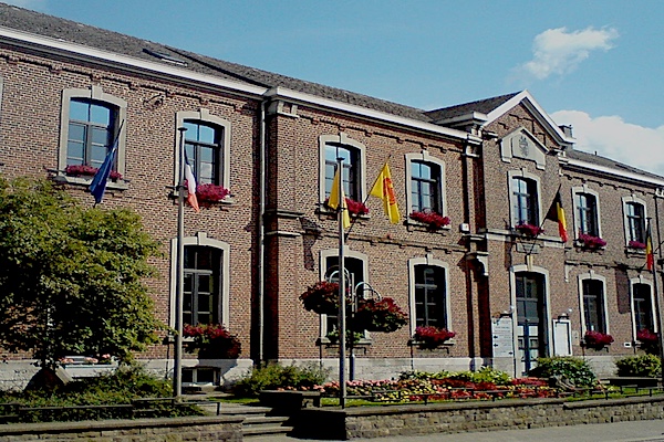
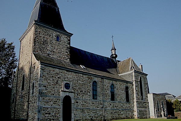
Henri-Chapelle is a Belgian village in the province of Liège.Located 17 kilometers from the frontier of Aachen. Just 300 metres west of the town, is the highest point of the Herve plateau, at 354 metres above sea level. Henri-Chapelle was its own municipality until January 1, 1977 when it was merged with Welkenraedt as part of the fusion of the Belgian municipalities.
Overview map and stats:
| Start: | Raeren (BE) |
| Coordinates (DD): | 50.676087 / 6.111485 |
| End: | Henri-Chapelle (BE) |
| Coordinates (DD): | 50.676861 / 5.929758 |
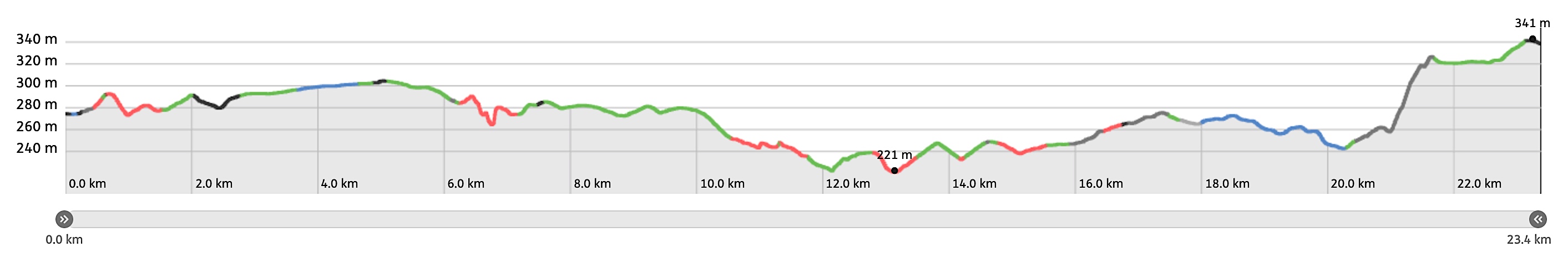
| Distance: | 23,4 kilometers |
| Ascent: | 202 meters |
| Descent: | 138 meters |
| Elevation map: |
| Path, dirt road, nature trail: | 80% |
| Asphalt, road: | 20% |
| Pdf route map: | Go for download to page here |
| Gpx track: | Go for download to page here |
| KML file: | Go for download to page here |
- Pdf files are excellent for viewing.
- Gpx tracks can be uploaded to many devices, so you always know the direction to follow or your position.
- KML files can be uploaded in Google Earth. As result you get a detailed satellite view. You can even follow a videotour, which is a linear walk-through the stage.
Some highlights:
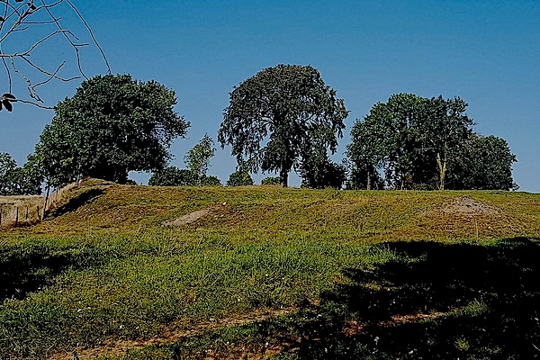

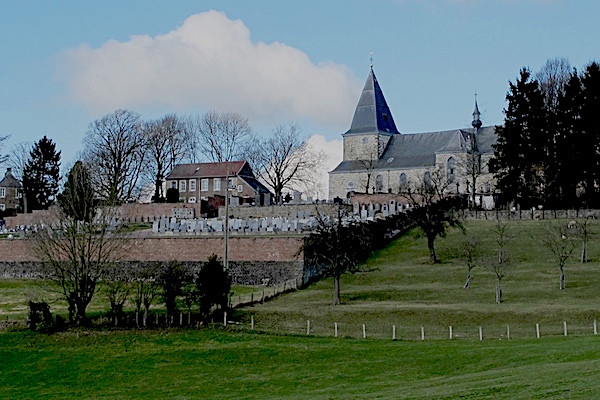
The Henri-Chapelle American Military Cemetery is located on the road to Aachen. The village of Henri-Chapelle was liberated on September 11, 1944 by the 1st Infantry Division of the US Army. On September 28, 1944, a military cemetery was established by the Americans, read more…
Specific info:
Sleep suggestions:
Interesting websites:
