Stage 22. Henri-Chapelle (BE) to Limbourg (BE)

Stage 22. Henri-Chapelle (BE) to Limbourg (BE)
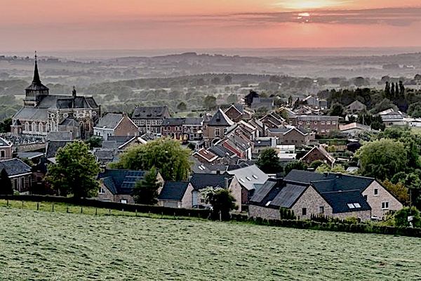
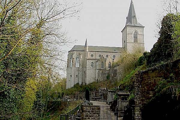
Henri-Chapelle is a Belgian village in the province of Liège.Located 17 kilometers from the frontier of Aachen. Just 300 metres west of the town, is the highest point of the Herve plateau, at 354 metres above sea level.
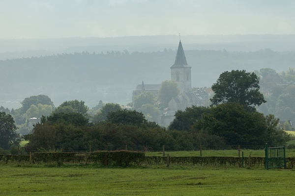
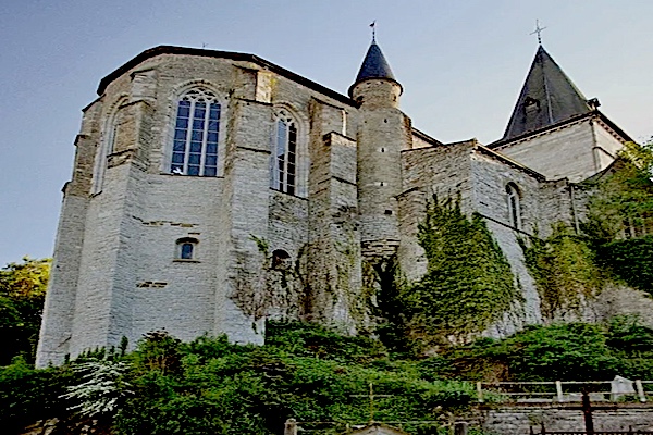
Limbourg was founded around the year 1000. The city had a reputation for being impregnable and therefore of great strategic importance. Together with Brabant, Limburg came into the possession of the Burgundian dukes in 1404, read more…
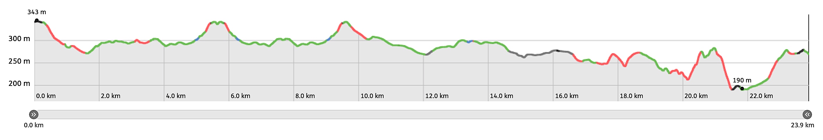
Overview map and stats:

| Start: | Henri-Chapelle (BE) |
| Coordinates (DD): | 50.676861 / 5.929758 |
| End: | Limbourg (BE) |
| Coordinates (DD): | 50.612813 / 5.940460 |
| Distance: | 23,9 kilometers |
| Ascent: | 351 meters |
| Descent: | 424 meters |
| Elevation map: |
| Path, dirt road, nature trail: | 87% |
| Asphalt, road: | 13% |
| Pdf route map: | Go for download to page here |
| Gpx track: | Go for download to page here |
| KML file: | Go for download to page here |
- Pdf files are excellent for viewing.
- Gpx tracks can be uploaded to many devices, so you always know the direction to follow or your position.
- KML files can be uploaded in Google Earth. As result you get a detailed satellite view. You can even follow a videotour, which is a linear walk-through the stage.
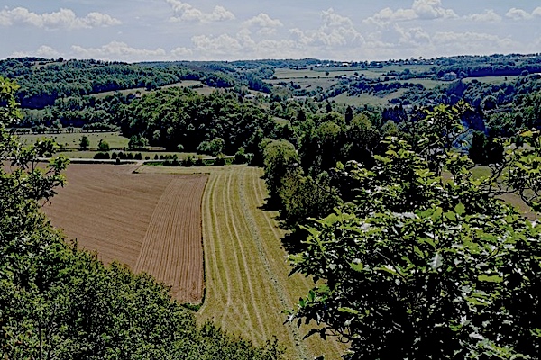
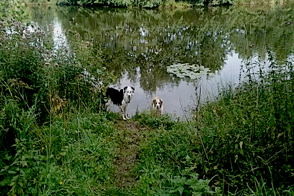
Some highlights: