Stage 23. Limbourg (BE) to Eupen (BE)
Stage 23. Limbourg (BE) to Eupen (BE)
Limbourg was founded around the year 1000. The city had a reputation for being impregnable and therefore of great strategic importance. Together with Brabant, Limburg came into the possession of the Burgundian dukes in 1404, read more…
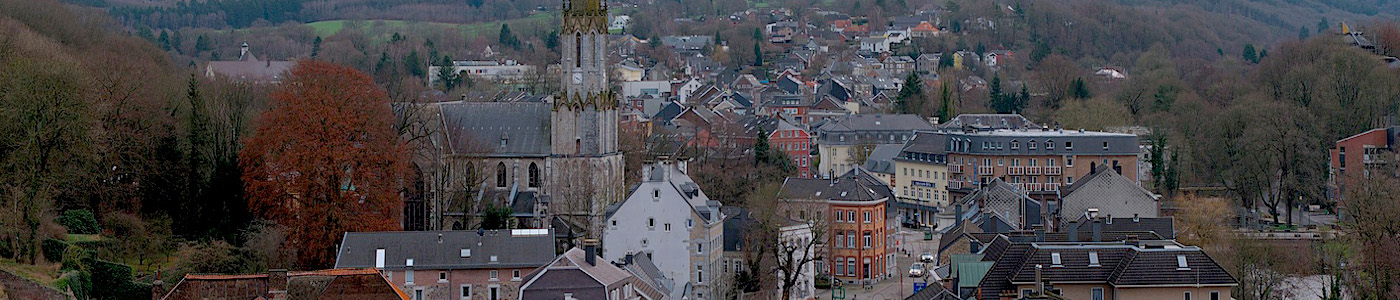
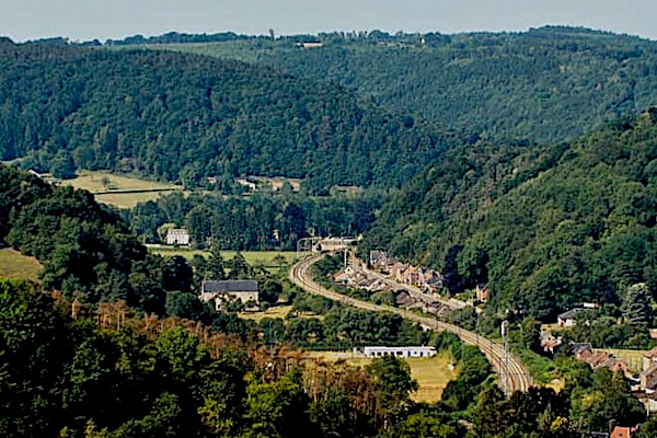
Eupen is the capital of East Belgium in the Belgium province of Liège and at the frontier Nature Reserve Hautes Fagnes in the Belgian Ardennes. First mentioned in 1213 as belonging to the duke of Limburg, the possession of Eupen passed to Brabant, Burgundy, the Roman Empire and France before being given in 1815 to Prussia, read more…
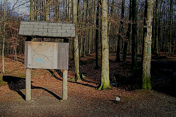
Overview map and stats:
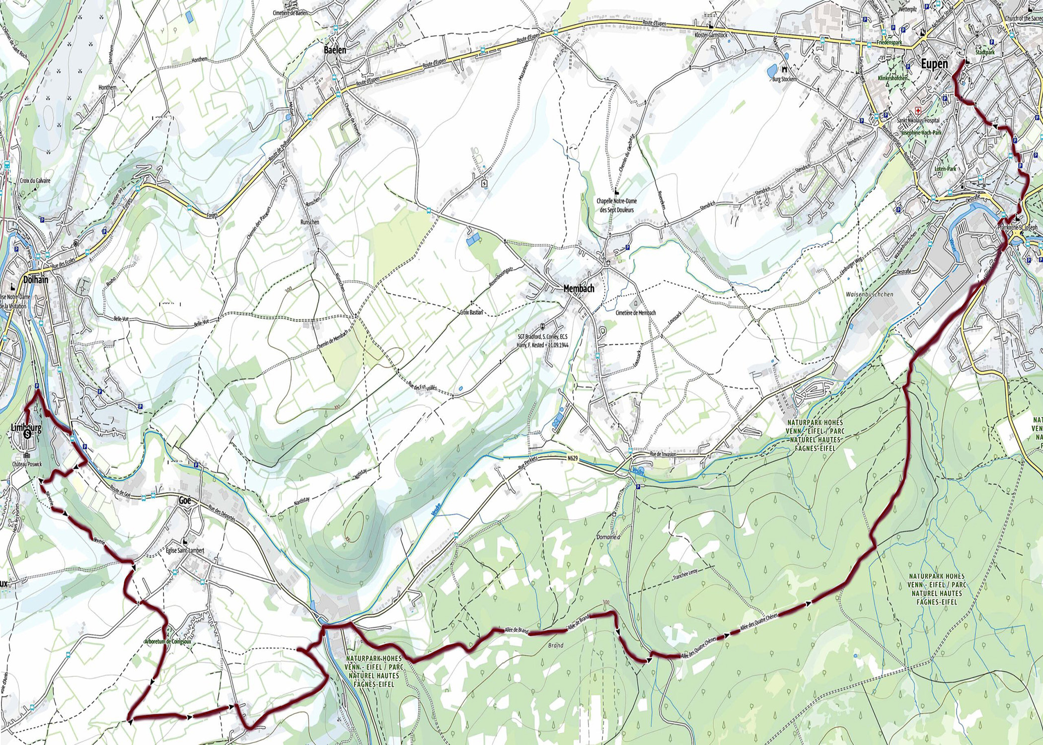
| Start: | Limbourg (BE) |
| Coordinates (DD): | 50.676861 / 5.929758 |
| End: | Eupen (BE) |
| Coordinates (DD): | 50.630504 / 6.032076 |
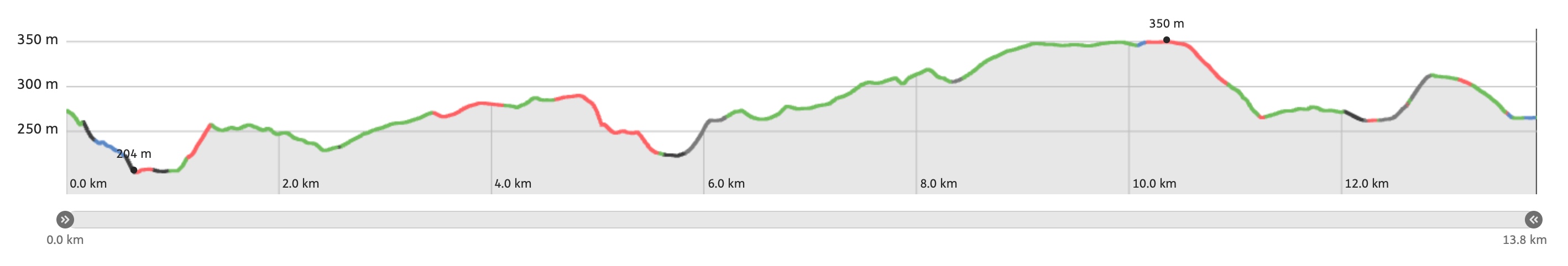
| Distance: | 13,8 kilometers |
| Ascent: | 266 meters |
| Descent: | 274 meters |
| Elevation map: |
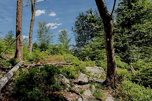
| Path, dirt road, nature trail: | 88% |
| Asphalt, road: | 12% |
| Pdf route map: | Go for download to page here |
| Gpx track: | Go for download to page here |
| KML file: | Go for download to page here |
- Pdf files are excellent for viewing.
- Gpx tracks can be uploaded to many devices, so you always know the direction to follow or your position.
- KML files can be uploaded in Google Earth. As result you get a detailed satellite view. You can even follow a videotour, which is a linear walk-through the stage.
Some highlights:
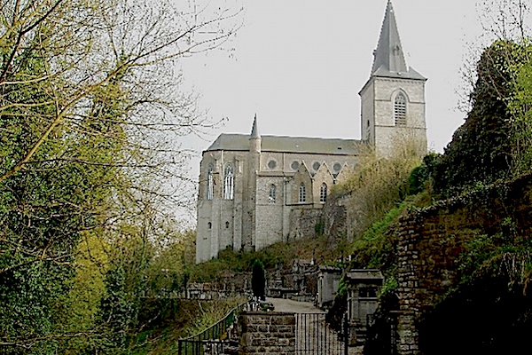

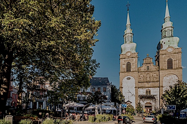
Built in the 12th century as a simple chapel with a flat choir stall, St. George’s Church was redesigned and expanded in the 14th century, in keeping with the development of the town. In the 15th century the building was elevated. Damaged during the wars, then restored in the 17th century, destroyed by fire in 1834, restored again, the church was finally given a spire in the 19th century. The church, which is listed as a monument, contains some old treasures such as a theotheque (1520), baptismal fonts (16th century) but also many tombstones of notables.
Specific local info:
Sleep suggestions:
Interesting websites:
