Stage 24. Eupen (BE) to Eupen (BE)

Stage 24. Eupen (BE) to Eupen (BE)
Eupen is the capital of East Belgium in the Belgium province of Liège and at the frontier Nature Reserve Hautes Fagnes in the Belgian Ardennes. First mentioned in 1213 as belonging to the duke of Limburg, the possession of Eupen passed to Brabant, Burgundy, the Roman Empire and France before being given in 1815 to Prussia, read more…
Overview map and stats:
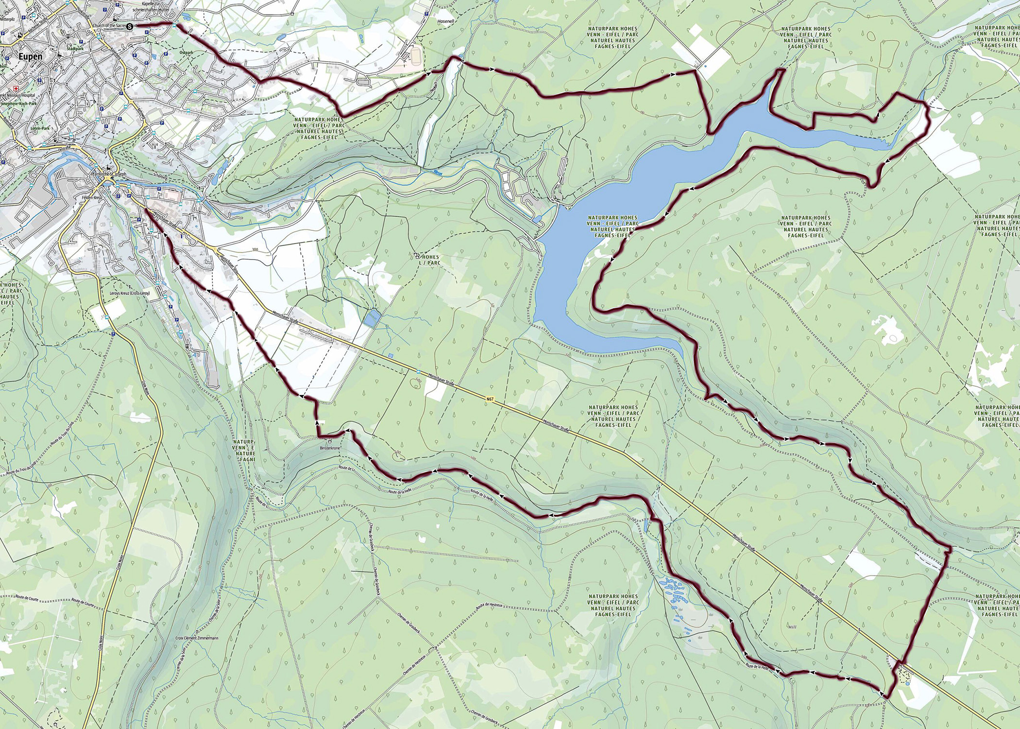
| Start: | Eupen (BE) |
| Coordinates (DD): | 50.619927 / 6.043878 |
| End: | Eupen (BE) |
| Coordinates (DD): | 50.619927 / 6.043878 |
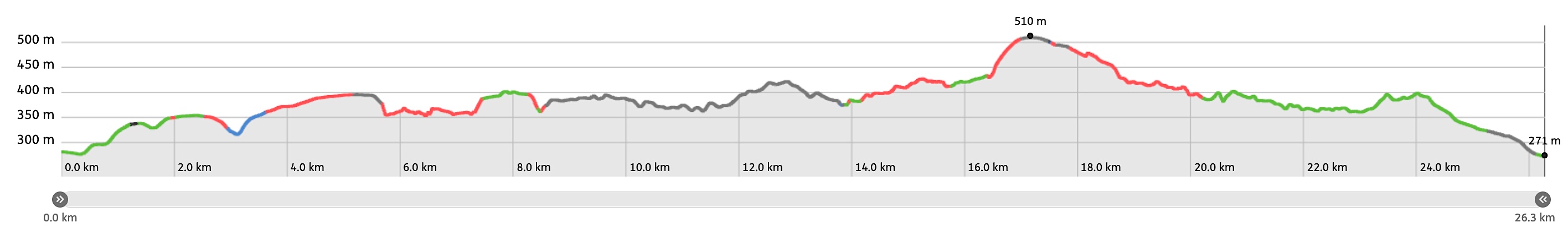
| Distance: | 26,3 kilometers |
| Ascent: | 476 meters |
| Descent: | 486 meters |
| Elevation map: |

| Path, dirt road, nature trail: | 71% |
| Asphalt, road: | 29% |
| Pdf route map: | Go for download to page here |
| Gpx track: | Go for download to page here |
| KML file: | Go for download to page here |
- Pdf files are excellent for viewing.
- Gpx tracks can be uploaded to many devices, so you always know the direction to follow or your position.
- KML files can be uploaded in Google Earth. As result you get a detailed satellite view. You can even follow a videotour, which is a linear walk-through the stage.
Some highlights:
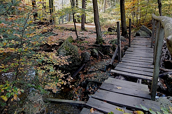


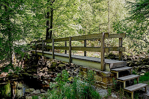
The stream Helle (German: Hill, French La Helle) is a tributary of the Vesder in the Belgian province of Liège. The river flows over the plateau of the Hautes Fagnes and springs near Signal de Botrange.
During Roman times, the river was the border between the areas of Tongeren (Tungrorum) and Cologne (Agrippinensium), read more…
Specific local info:
Sleep suggestions:
Interesting websites:
