Stage 27. Spa (BE) to Hockai (BE)
Stage 27. Spa (BE) to Hockai (BE)
Spa is located in the Belgian province of Liège and has more than 10,000 inhabitants. The thermal baths of Spa are listed as UNESCO World Heritage, read more…
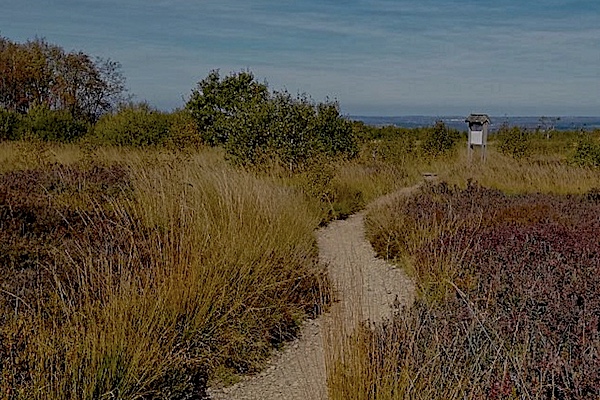
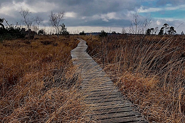
Hockai is a village in the far north of the municipality of Stavelot in the province of Liège and located at an altitude of about 555 meters. With this location Hockai is one of the highest villages in Belgium. The village is no longer served by a railway and the former railway bed is transformed in a walking/cycling path (RAVeL).
Overview map and stats:
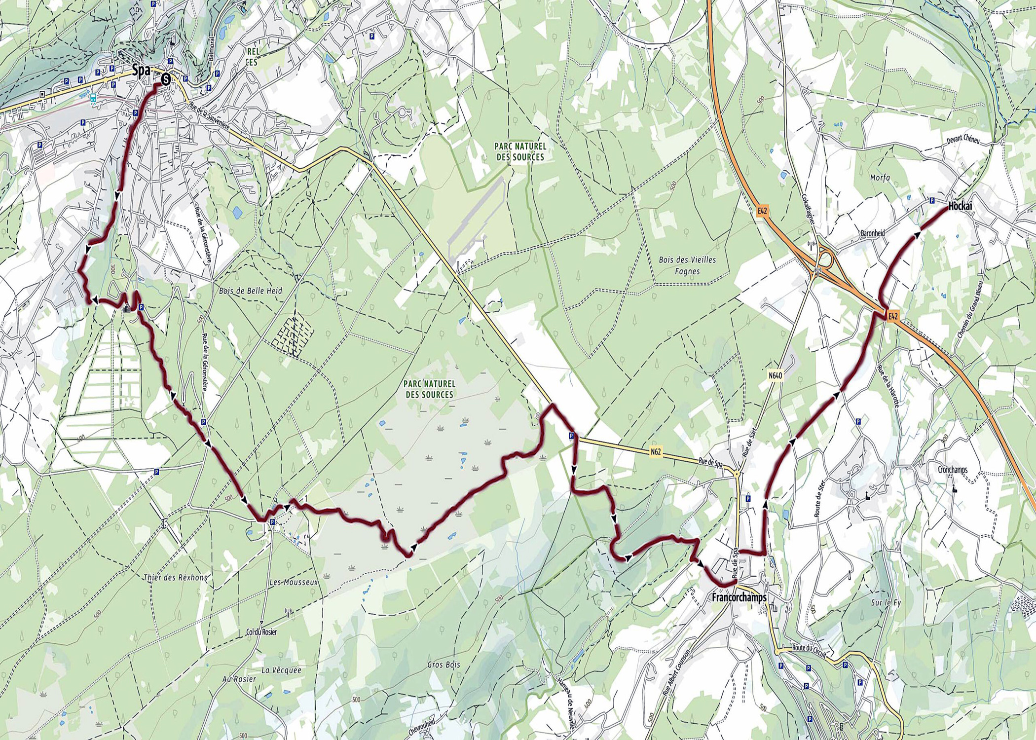
| Start: | Spa (BE) |
| Coordinates (DD): | 50.492297 / 5.862506 |
| End: | Hockai (BE) |
| Coordinates (DD): | 50.481993 / 5.986158 |
| Distance: | 20,1 kilometers |
| Ascent: | 547 meters |
| Descent: | 260 meters |
| Elevation map: |
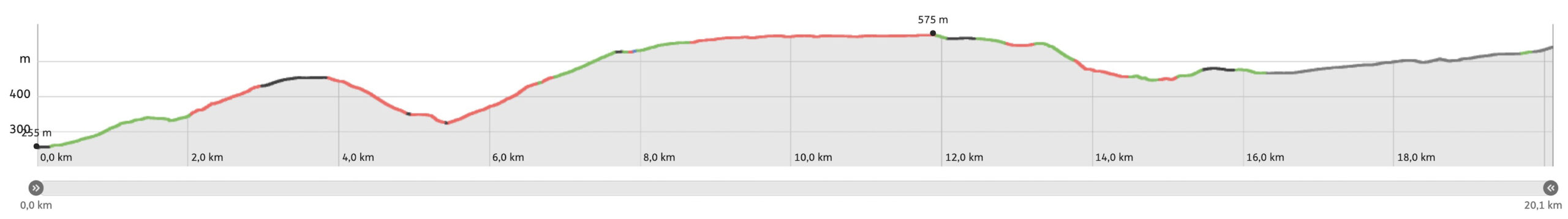
| Path, gravel, dirt road, nature trail: | 72% |
| Asphalt, road: | 28% |
| Pdf route map: | Go for download to page here |
| Gpx track: | Go for download to page here |
| KML file: | Go for download to page here |
- Pdf files are excellent for viewing.
- Gpx tracks can be uploaded to many devices, so you always know the direction to follow or your position.
- KML files can be uploaded in Google Earth. As result you get a detailed satellite view. You can even follow a videotour, which is a linear walk-through the stage.
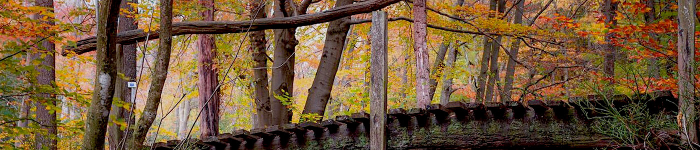
Some highlights:
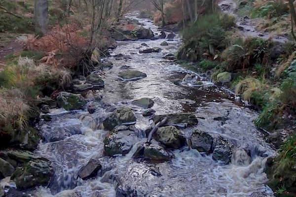
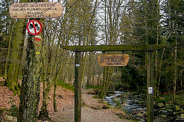
Writers in the 19th century were not afraid to make the most grotesque comparisons when it came to the stream la Hoëgne. Exploring the Hoëgne valley has been compared to Livingstone’s discovery of the Victoria Falls, read more…
Specific info:
Sleep suggestions:
Interesting websites:
Public transport:
