Stage 38. Stolberg (DE) to Aachen (DE)

Stage 38. Stolberg (DE) to Aachen / Aix-la-Chapelle (DE)
The nicknames of Stolberg are “Copper city” and “Oldest Brass city in the world” – indicates the long tradition of its metalworking industry, read more…
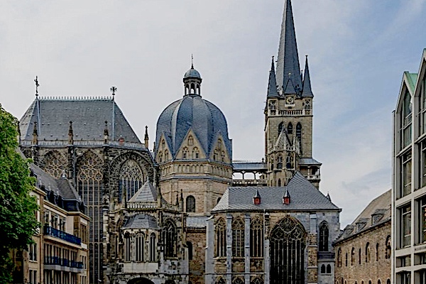
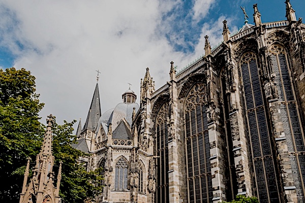
The ancient name of Aachen/Aix-la-Chapelle is not been passed. Since Charlemagne founded his castle on the remains of Roman baths, the Latin word aqua for water can be taken as the origin of the name, read more…
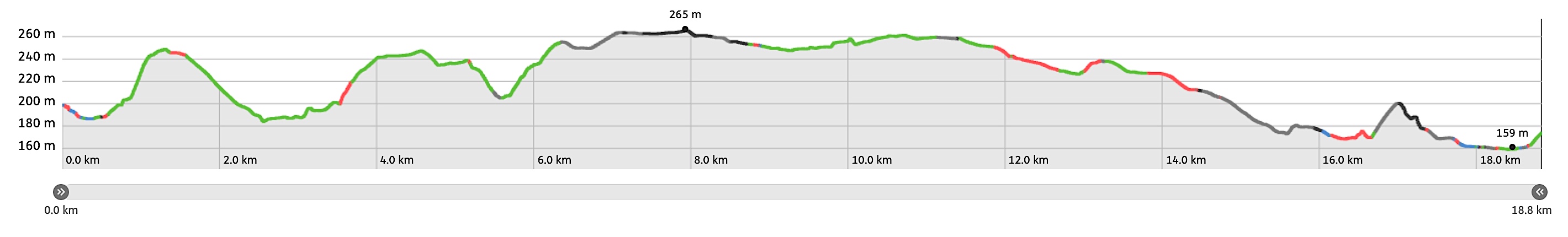
Overview map and stats:
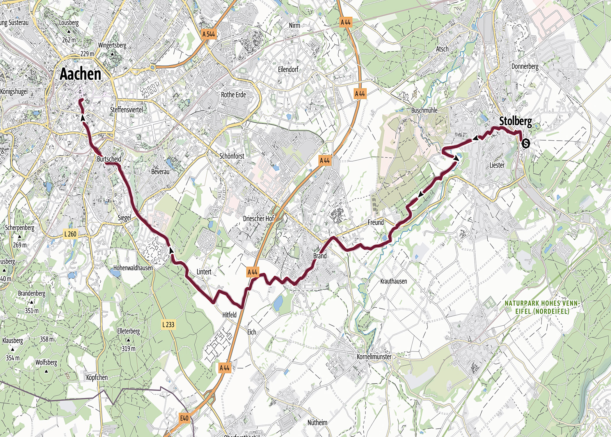
| Start: | Stolberg (DE) |
| Coordinates (DD): | 50.766811 / 6.233552 |
| End: | Aachen (DE) |
| Coordinates (DD): | 50.776254 / 6.083398 |
| Distance: | 18,8 kilometers |
| Ascent: | 233 meters |
| Descent: | 258 meters |
| Elevation map: |
| Path, dirt road, nature trail: | 70% |
| Asphalt, road: | 30% |
| Pdf route map: | Go for download to page here |
| Gpx track: | Go for download to page here |
| KML file: | Go for download to page here |
- Pdf files are excellent for viewing.
- Gpx tracks can be uploaded to many devices, so you always know the direction to follow or your position.
- KML files can be uploaded in Google Earth. As result you get a detailed satellite view. You can even follow a videotour, which is a linear walk-through the stage.
Some highlights:


Brander Wald is at the same time a protected nature reserve as a recreation area and a military training groundand is located between Aachen and Stolberg. In Brander Wald you can find not only various endangered plant and animal species, but also the wrecks of four old tanks from earlier times, read more…
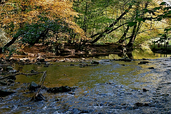
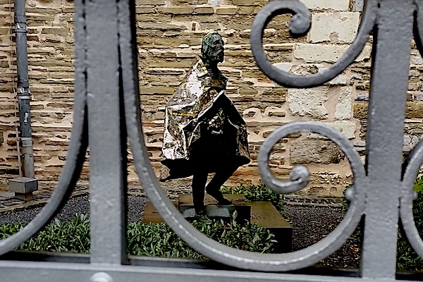
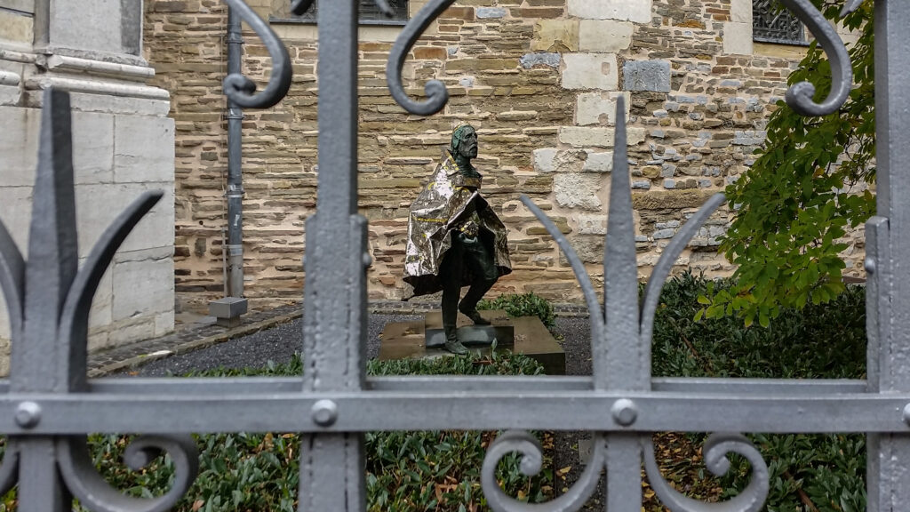
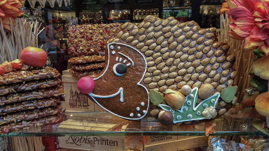
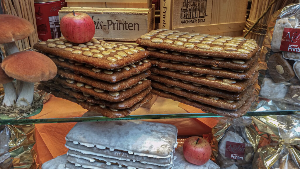
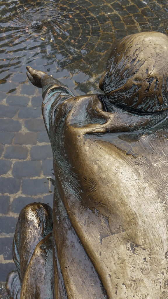
Pictures during my stay
Specific info:
Sleep suggestions:
Interesting websites:
Transport

Tourism Nordrhein-Westfalen
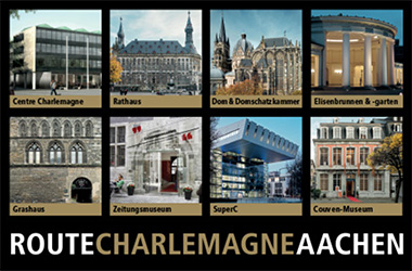
Route Charlemagne