Stage 37. Breinig (DE) to Stolberg (DE)

Stage 37. Breinig (DE) to Stolberg (DE)
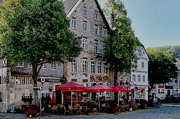
Old Breinig is is today characterised by its urban value and the careful preservation of its historic buildings. The entire old Breinig street is therefore listed as historic town center and designated as a particularly regionally typical place, read more…
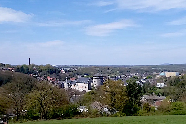
The nicknames of Stolberg are “Copper city” and “Oldest Brass city in the world”, indicates the long tradition of its metalworking industry, read more…
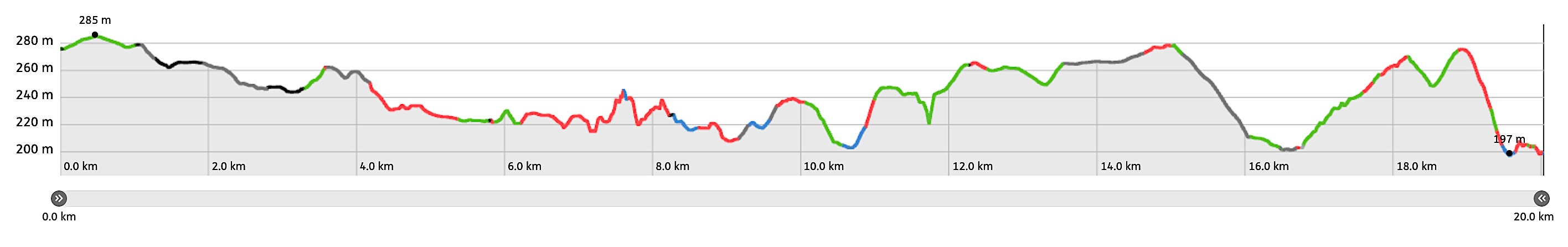
Overview map and stats:

| Start: | Breinig (DE) |
| Coordinates (DD): | 50.729983 / 6.220672 |
| End: | Stolberg (DE) |
| Coordinates (DD): | 50.766811 / 6.233552 |
| Distance: | 20 kilometers |
| Ascent: | 225 meters |
| Descent: | 301 meters |
| Elevation map: |
| Path, dirt road, nature trail: | 73% |
| Asphalt, road: | 27% |
| Pdf route map: | Go for download to page here |
| Gpx track: | Go for download to page here |
| KML file: | Go for download to page here |
- Pdf files are excellent for viewing.
- Gpx tracks can be uploaded to many devices, so you always know the direction to follow or your position.
- KML files can be uploaded in Google Earth. As result you get a detailed satellite view. You can even follow a videotour, which is a linear walk-through the stage.
Some highlights:


Kornelimünster started as a small settlement and a sanctuary on the crossroad of two Roman highways crossed, the one from Aachen to Trier and the one from Cologne/Köln via Jülich to Dinant, read more…
Specific local info:
Sleep suggestions:
Interesting websites:
Public transport;
