Stage 6. Jabeek (NL) to Born (NL)
Stage 6. Jabeek (NL) to Born (NL)
Jabeek is a small residential area in the municipality of Beekdaelen in Dutch Limburg. The name is probably derived from the stream Quabeek that runs through the village, read more…
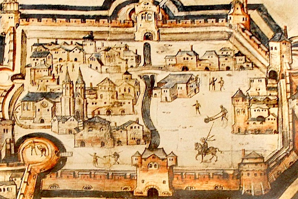
The first mention of the place name Born dates from the year 1125. The settlement Born arose on the northeast side of the Graetbos (forest) near a water source. Born is located along the Juliana canal and in the so-called “waist of Limburg“, a narrow part of the Netherlands that connects South Limburg with the rest of the country. From the village center, the distance to the Belgian frontier is 2.5 kilometers westwards and 4.7 kilometers eastwards to the German frontier. The Hondsbeek (stream) runs east of Born.
Trail map and stats:

| Start: | Jabeek (NL) |
| Coordinates (DD): | 50.981919 / 5.941016 |
| End: | Born (NL) |
| Coordinates (DD): | 51.031997 / 5.812019 |
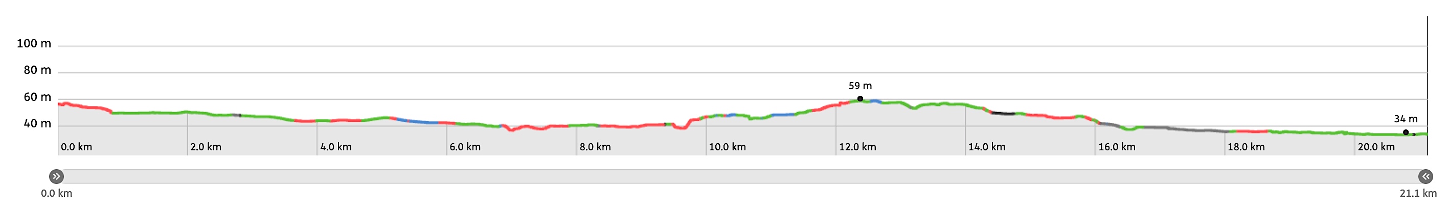
| Distance: | 21,1 kilometers |
| Ascent: | 25 meters |
| Descent: | 47 meters |
| Elevation map: |
| Path, dirt road, nature trail: | 90% |
| Asphalt, road: | 10% |
| Pdf route map: | Go for download to page here |
| Gpx track: | Go for download to page here |
| KML file: | Go for download to page here |
- Pdf files are excellent for viewing.
- Gpx tracks can be uploaded to many devices, so you always know the direction to follow or your position.
- KML files can be uploaded in Google Earth. As result you get a detailed satellite view. You can even follow a videotour, which is a linear walk-through the stage.
Some highlights:
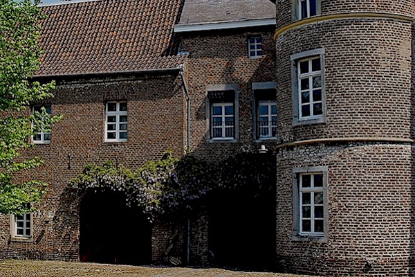
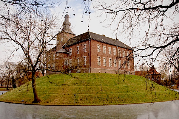

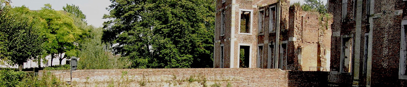
In the years 1813 kasteel Limbricht (castle) served as a hospital for thousands of sick and wounded French soldiers returning from the Battle of Leipzig. Many of these soldiers suffered from dysentery and they were cared by the locals. A large number of them (687 soldiers) did not survive and they were buried in the French cemetery in Limbricht.