Stage 8. Opglabeek (BE) to Genk (BE)
Stage 8. Opglabeek (BE) to Genk (BE)
In the Middle Ages Opglabbeek lived from agriculture and turf extraction. At the end of the eighteenth century, Opglabbeek is visible on geographical maps as a small village on the edge of the moor, read more…
Genk is a city in the Belgian province Limburg with more than 66,000 inhabitants.
For almost 800 years Genk remained rural with 200 to 500 inhabitants, but Genk remained the center of a number of other little villages, read more…
Trail map and stats:

| Start: | Opglabeek (BE) |
| Coordinates (DD): | 51.043789 / 5.583648 |
| End: | Genk (BE) |
| Coordinates (DD): | 50.968489 / 5.499835 |
| Distance: | 18,9 kilometers |
| Ascent: | 83 meters |
| Descent: | 88 meters |
| Elevation map: |
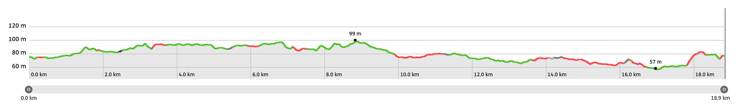
| Path, dirt road, nature trail: | 95% |
| Asphalt, road: | 5% |
| Pdf route map: | Go for download to page here |
| Gpx track: | Go for download to page here |
| KML file: | Go for download to page here |
- Pdf files are excellent for viewing.
- Gpx tracks can be uploaded to many devices, so you always know the direction to follow or your position.
- KML files can be uploaded in Google Earth. As result you get a detailed satellite view. You can even follow a videotour, which is a linear walk-through the stage.
Some highlights:
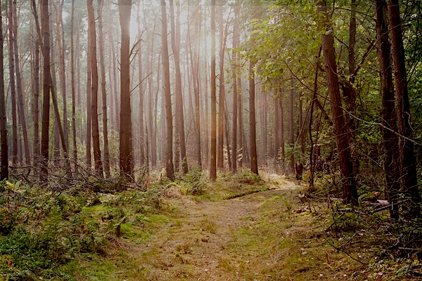
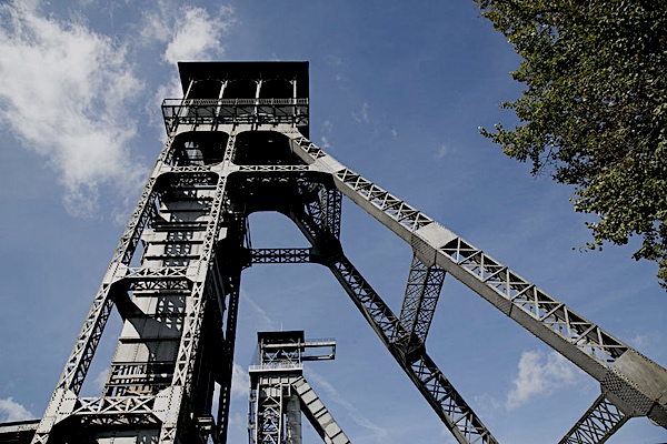
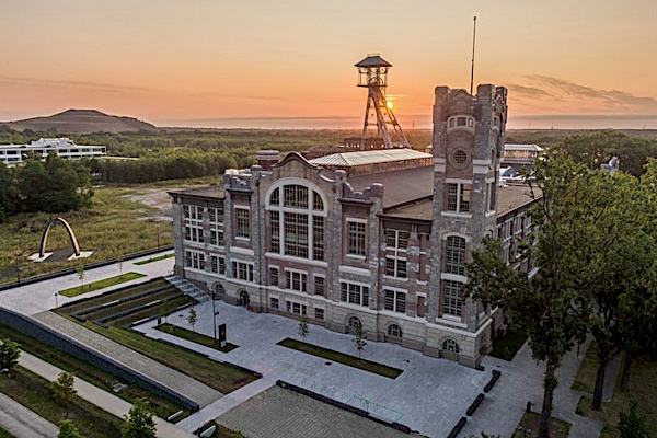
The National Park Hoge Kempen was festively opened on Sunday 26 March 2006.
By orienting economic development in the tourist direction, this first national park in Flanders was created to generate more work after the mine closures, read more…
Specific info:
Sleep suggestions:
Interesting websites:
