Stage 32. Monschau (DE) to Einruhr (DE)

Stage 32. Monschau (DE) to Einruhr (DE)
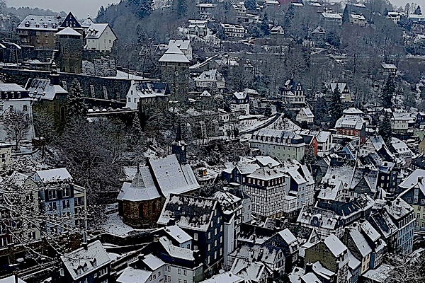
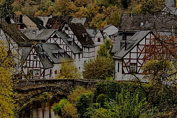
In the north of the Eifel, not far from the border with Belgium, Monschau is located in one of the most beautiful regions of Germany; the Eifel. Monschau was first mentioned in 1198 as Mons Ioci. The castle probably originated from the 13th century and was founded by the Duke of Limburg as Castrum in Munioie. In 1352 the place received city rights. So Monschau is an old city whose history goes a long way back.
On the eastern bank of the Rurtalsperre Schwammenauel/dam is located the city Einruhr and part of the municipality of Dedenborn, read more…
Overview map and stats:
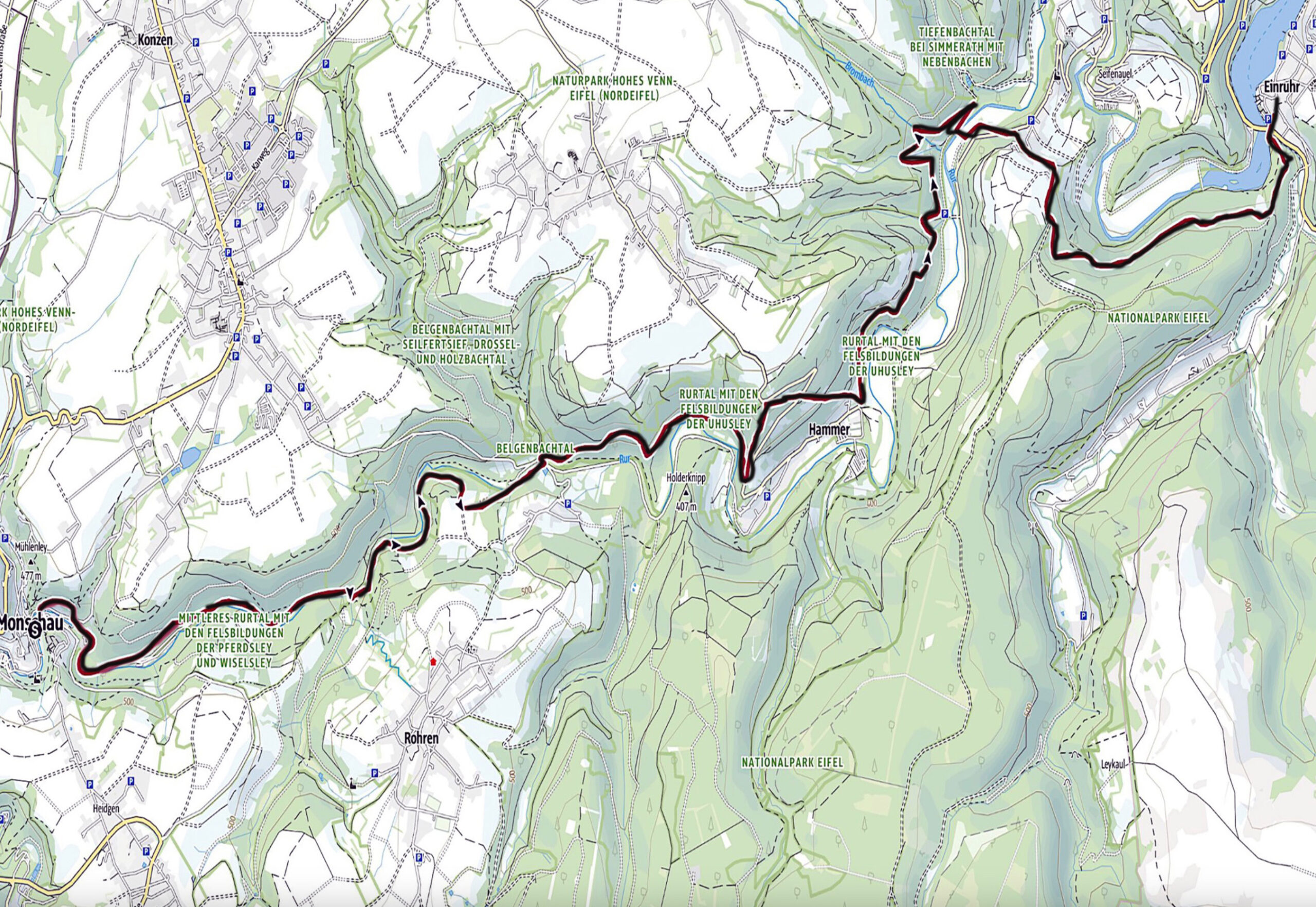
| Start: | Monschau (DE) |
| Coordinates (DD): | 50.491837 / 6.441756 |
| End: | Einruhr (DE) |
| Coordinates (DD): | 50.584478 / 6.380478 |
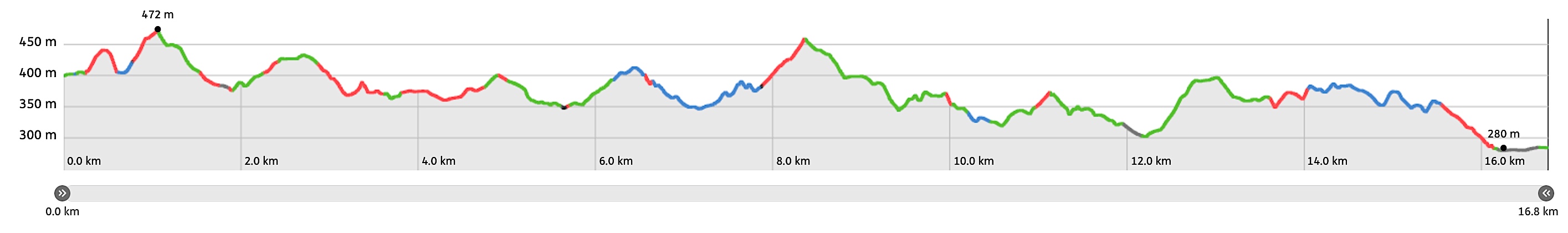
| Distance: | 16,8 kilometers |
| Ascent: | 575 meters |
| Descent: | 711 meters |
| Elevation map: |
| Path, dirt road, nature trail: | 95% |
| Asphalt, road: | 5% |
| Pdf route map: | Go for download to page here |
| Gpx track: | Go for download to page here |
| KML file: | Go for download to page here |
- Pdf files are excellent for viewing.
- Gpx tracks can be uploaded to many devices, so you always know the direction to follow or your position.
- KML files can be uploaded in Google Earth. As result you get a detailed satellite view. You can even follow a videotour, which is a linear walk-through the stage.
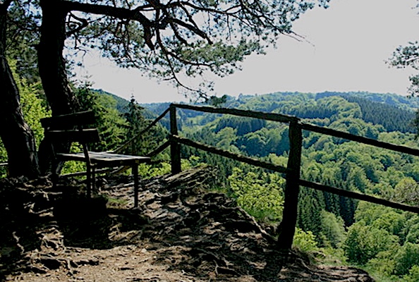
Some highlights:

The Rurtalsperre Schwammenauel/dam was built between 1934 and 1938. It was inaugurated in 1939. The dam is made of stones and soil, between which there is loam, read more…
Specific info:
Sleep suggestions:
Interesting websites:
