Stage 33. Einruhr (DE) to Heimbach (DE)
Stage 33. Einruhr (DE) to Heimbach (DE)
On the eastern bank of the Rurtalsperre Schwammenauel/dam is located the town Einruhr and part of the municipality of Dedenborn.
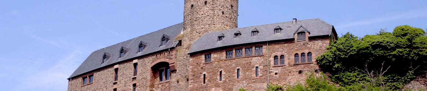
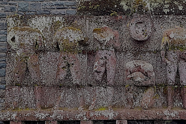
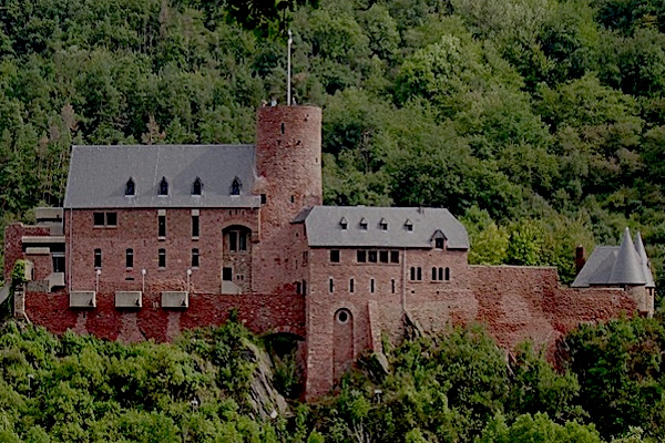
The towers of Hengebach Castle reigns over over Heimbach. The first mention of the town Heimbach was in 673. At the end of the 18th century, Heimbach became French property and after the Congress of Vienna (1815) it became Prussia, read more…
Overview map and stats:
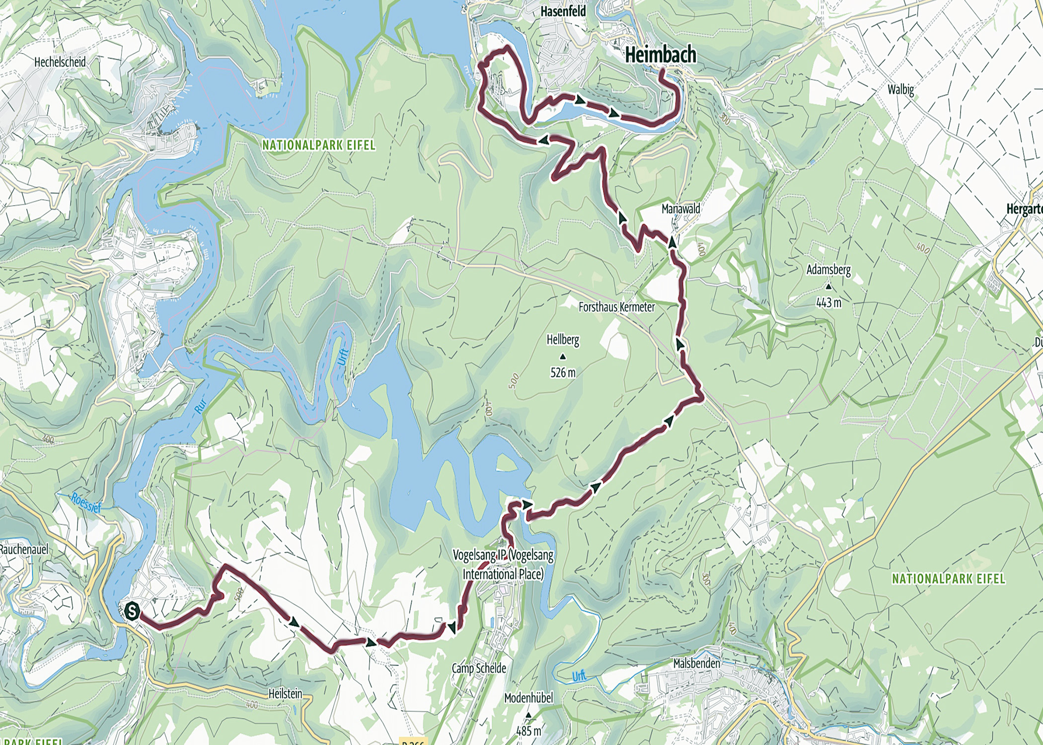
| Start: | Einruhr (DE) |
| Coordinates (DD): | 50.584478 / 6.380478 |
| End: | Heimbach (DE) |
| Coordinates (DD): | 50.633431 / 6.480739 |
| Distance: | 24 kilometers |
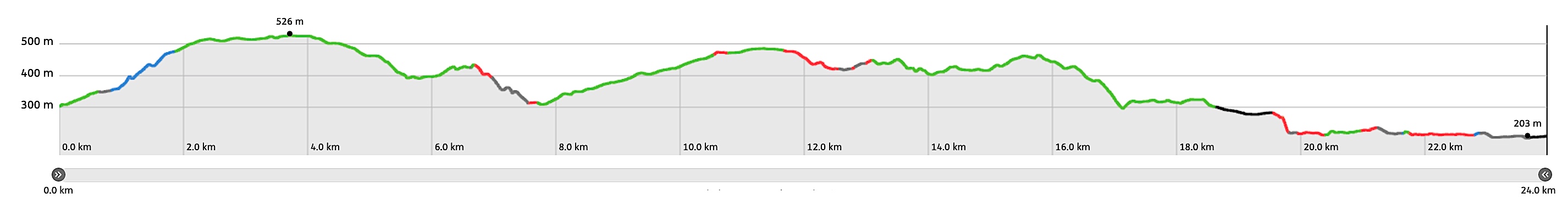
| Ascent: | 570 meters |
| Descent: | 659 meters |
| Elevation map: |
| Path, dirt road, nature trail: | 84% |
| Asphalt, road: | 16% |
| Pdf route map: | Go for download to page here |
| Gpx track: | Go for download to page here |
| KML file: | Go for download to page here |
- Pdf files are excellent for viewing.
- Gpx tracks can be uploaded to many devices, so you always know the direction to follow or your position.
- KML files can be uploaded in Google Earth. As result you get a detailed satellite view. You can even follow a videotour, which is a linear walk-through the stage.
Some highlights:
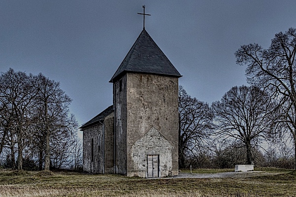

In the North Eifel you can rely on two things: on the ringing of the church bells and the rain (900–1300 millimeters annually), read more…
Specific local info:
Sleep suggestions:
Interesting websites:
