Stage 34. Heimbach (DE) to Woffelsbach (DE)

Stage 34. Heimbach (DE) to Woffelsbach (DE)
The towers of Hengebach Castle reigns over over Heimbach. The first mention of the town Heimbach was in 673. At the end of the 18th century, Heimbach became French property and after the Congress of Vienna (1815) it became Prussia, read more…
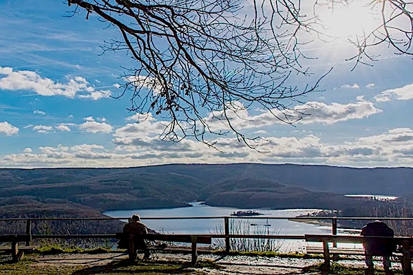
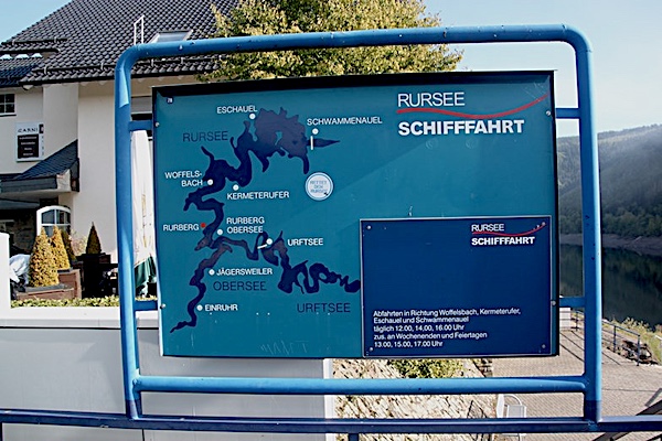
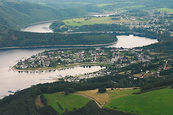
Woffelsbach is a village of about 500 inhabitants of the municipality Simmerath. The village is located in the northern Eifel on the banks of the lake Rur, that flows into the river Meuse (NL), read more…
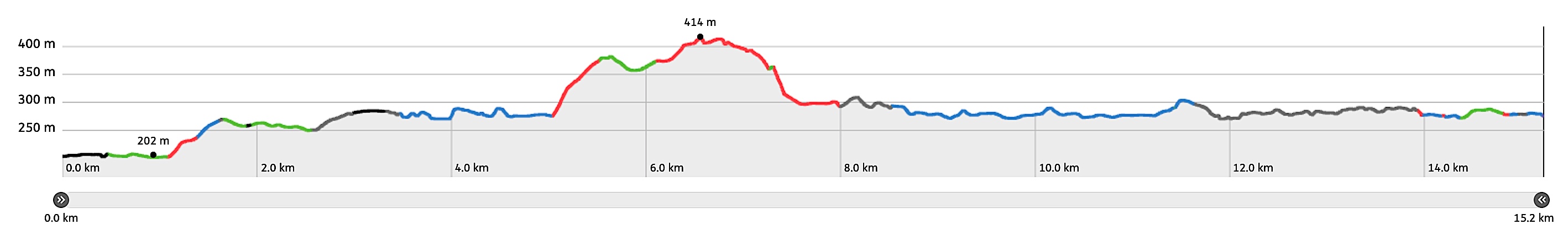
Overview map and stats:

| Start: | Heimbach (DE) |
| Coordinates (DD): | 50.633431 / 6.480739 |
| End: | Woffelsbach (DE) |
| Coordinates (DD): | 50.627794 / 6.384539 |
| Distance: | 15,2 kilometers |
| Ascent: | 251 meters |
| Descent: | 187 meters |
| Elevation map: |
| Path, dirt road, nature trail: | 71% |
| Asphalt, road: | 29% |
| Pdf route map: | Go for download to page here |
| Gpx track: | Go for download to page here |
| KML file: | Go for download to page here |
- Pdf files are excellent for viewing.
- Gpx tracks can be uploaded to many devices, so you always know the direction to follow or your position.
- KML files can be uploaded in Google Earth. As result you get a detailed satellite view. You can even follow a videotour, which is a linear walk-through the stage.
Some highlights:
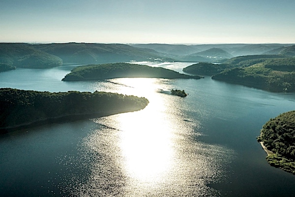

The Eifel is an area with many streams and rivers, which supply and discharge water to a large extent towards the sea. In the past, the water was a pleasure, because it providing energy for watermills, but often it was also a burden, because flooding regularly occured, read more…
Specific local info:
Sleep suggestions:
Interesting websites:
Public transport:
