Stage 35. Woffelsbach (DE) to Simonskall (DE)

Stage 35. Woffelsbach (DE) to Simonskall (DE)
Woffelsbach is a village of about 500 inhabitants of the municipality Simmerath. The village is located in the northern Eifel on the banks of the lake Rur, that flows into the river Meuse (NL), read more…
Simonskall is a place with the special name: “Die Perle der Eifel”. Hidden deep in the Kalltal lies the idyllic hamlet, consisting of a few old half-timbered houses, a dilapidated water mill and a small chapel. And on top of that, fortunately or unfortunately, a large number catering establishments, read more…
Overview map and stats:
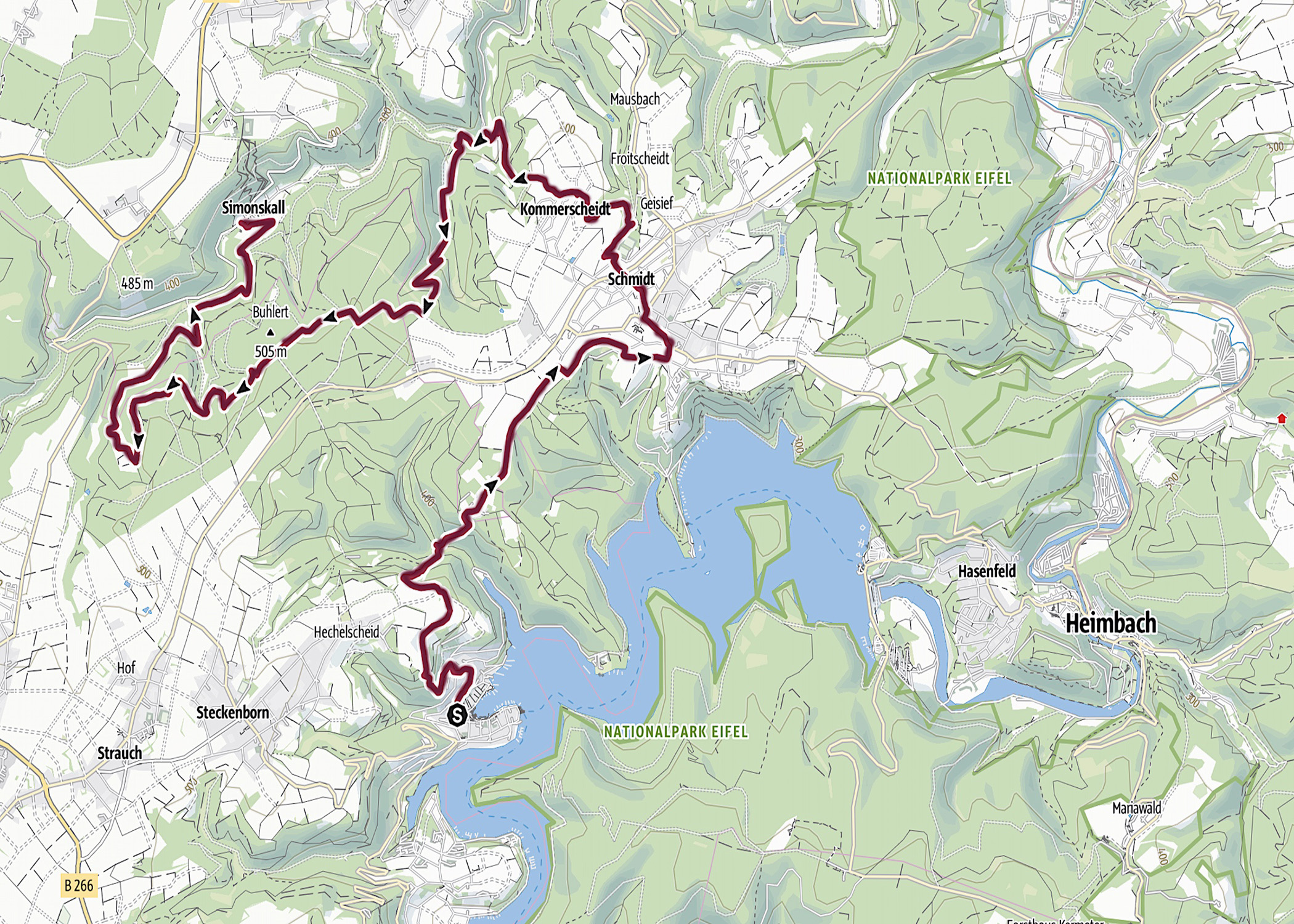
| Start: | Woffelsbach (DE) |
| Coordinates (DD): | 50.627794 / 6.384539 |
| End: | Simonskall (DE) |
| Coordinates (DD): | 50.666152 / 6.351446 |
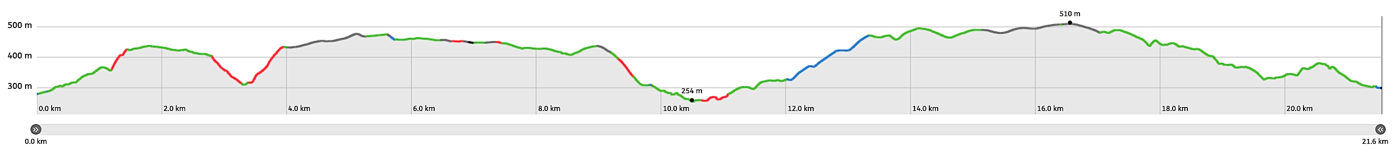
| Distance: | 21,6 kilometers |
| Ascent: | 698 meters |
| Descent: | 677 meters |
| Elevation map: |
| Path, dirt road, nature trail: | 83% |
| Asphalt, road: | 17% |
| Pdf route map: | Go for download to page here |
| Gpx track: | Go for download to page here |
| KML file: | Go for download to page here |
- Pdf files are excellent for viewing.
- Gpx tracks can be uploaded to many devices, so you always know the direction to follow or your position.
- KML files can be uploaded in Google Earth. As result you get a detailed satellite view. You can even follow a videotour, which is a linear walk-through the stage.
Some highlights:
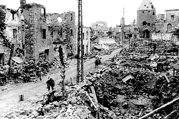
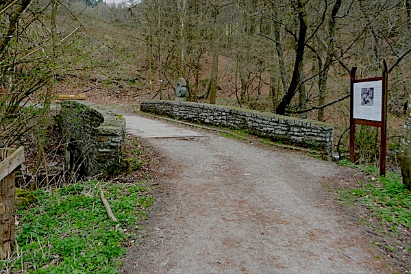
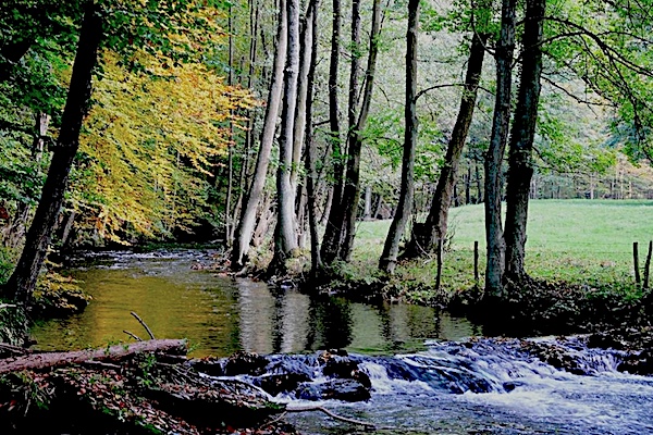


The memorial “A Time for Healing” is located on the bridge over the stream Kall near the restaurant Mestrenger Mühle; Around this bridge was heavily fought over at the Battle of the Hürtgen Forest during WW2, read more…